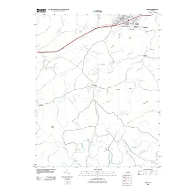
2010 Map of Riner
USGS Topo · Published 2010About this map
Christianburg dominates the northern landscape of this Virginia study, showing its residential expansion through numerous named subdivisions like Highland Park, Atkinson Acres, and Walnut Grove. South of the town, the terrain transitions into a patchwork of rural holdings and small settlements, including Riner and Sowers. The Little River and its many tributaries, such as Mill Creek and Meadow Creek, carve through the region, defining the local topography and historical transportation routes. Historical river crossings are noted at Broad Shoals Ford and Scaggs Ford, while Altizer Bridge and Bennetts Dam indicate more modern water management and infrastructure. Prominent peaks such as Pilot Mountain, Calfee Knob, and Poorhouse Knob overlook the valley, providing clear landmarks for researchers tracing the physical evolution of Montgomery County's landscape.
Find a feature on this map
90 named features on this map. Tap any name to fly to it.
Don’t see what you’re looking for? This feature index may not catch every label — zoom into the map to look around manually.
Map Details
Editions of this 2010 Riner Map
This is the sole edition of this map. No revisions or reprints were ever made.
Other maps of this area

1889 · Hillsville
USGS Topo · 1:125,000

1890 · Dublin
USGS Topo · 1:125,000

1890 · Christiansburg
USGS Topo · 1:125,000

1891 · Dublin
USGS Topo · 1:125,000

1892 · Hillsville
USGS Topo · 1:125,000

1896 · Hillsville
USGS Topo · 1:125,000

1932 · Blacksburg
USGS Topo · 1:48,000

1937 · Blacksburg
USGS Topo · 1:62,500

1950 · Radford
USGS Topo · 1:62,500

1953 · Winston-Salem
USGS Topo · 1:250,000