Loading...
Loading map...2022 Map of Riner
USGS Topo · Published 2022About this map
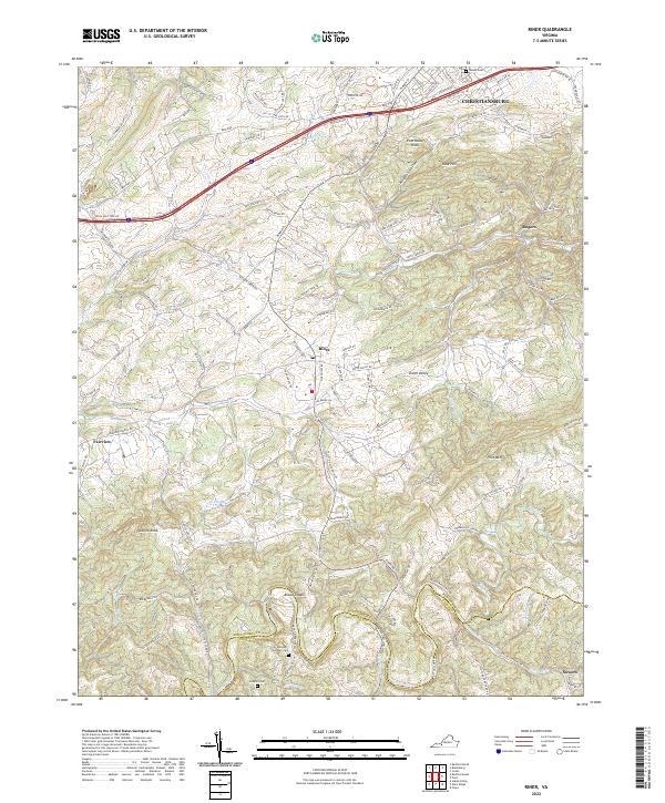
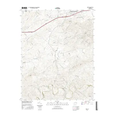
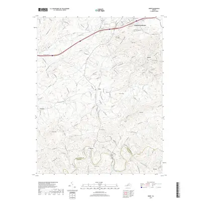
The Little River winds along the southern border of this Montgomery and Floyd County landscape, defining a terrain of high ridges and hollows such as Kingston Hollow. The settlement of Riner serves as a central hub, while the southern reaches of Christiansburg extend into the northern margin. This area is characterized by scattered rural communities and agricultural lands interspersed between prominent elevations like Pilot Mtn and Poorhouse Knob.
Find a feature on this map
128 named features on this map. Tap any name to fly to it.
Don’t see what you’re looking for? This feature index may not catch every label — zoom into the map to look around manually.
Map Details
Date Portrayed2022
Date Published2022
PublisherU.S. Geological Survey
Map TypeTopographic
Scale1:24,000
Physical Dimensions24 x 29 inches
Editions of this 2022 Riner Map
This is the sole edition of this map. No revisions or reprints were ever made.
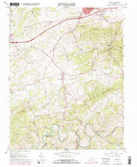
Historical Maps of Christiansburg Through Time
6 maps found
Featured Locations
Source Details
SourceU.S. Geological Survey
CopyrightPublic Domain