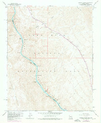
1959 Map of Ringbolt Rapids
USGS Topo · Published 1976About this map
Colorado River currents define this desert landscape where the water carved through the Black Canyon along the border of Arizona and Nevada. In the mid-twentieth century, this stretch of the river remained a place of shifting hydrology, featuring a series of named hazards for river runners including Ringbolt Rapids, Cross Current Rapids, and Indian Rapids. The map illustrates the transition from the free-flowing river to the northern reaches of Lake Mohave, where the rising waters began to alter the canyon floor.
Find a feature on this map
21 named features on this map. Tap any name to fly to it.
Don’t see what you’re looking for? This feature index may not catch every label — zoom into the map to look around manually.
Map Details
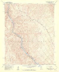
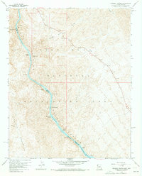
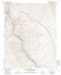
Editions of this 1959 Ringbolt Rapids Map
4 editions found
Other maps of this area

1886 · Camp Mohave
USGS Topo · 1:250,000

1886 · Saint Thomas
USGS Topo · 1:250,000

1892 · Camp Mohave
USGS Topo · 1:250,000

1893 · Saint Thomas
USGS Topo · 1:250,000

1926 · Nelson
USGS Topo · 1:96,000

1926 · Boulder Canyon
USGS Topo · 1:96,000

1942 · Camp Mohave
USGS Topo · 1:250,000

1947 · Kingman
USGS Topo · 1:250,000

1948 · Kingman
USGS Topo · 1:250,000

1952 · Henderson
USGS Topo · 1:62,500