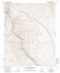
1959 Map of Ringbolt Rapids
USGS Topo · Published 1985About this map
Black Canyon carves a dramatic corridor through this 1959 survey, marking the jagged boundary between Arizona and Nevada. The Colorado River flows through the center of the sheet, characterized by a series of treacherous water features including Ringbolt Rapids, Horseshoe Rapids, and Cranes Nest Rapids. These names reflect the difficult navigation of the river before its character was further altered by regional water management projects. Along the banks, several Hot Springs and geological features like White Rock Canyon punctuate the arid landscape of the Lake Mead National Recreation Area. Human activity is represented by infrastructure such as a Gaging Station, a Ranger Station, and the State Fish Hatchery near the southern end of the canyon. The Eldorado Mountains dominate the western terrain, crisscrossed by a network of Jeep Trails and footpaths.
Find a feature on this map
42 named features on this map. Tap any name to fly to it.
Don’t see what you’re looking for? This feature index may not catch every label — zoom into the map to look around manually.
Map Details
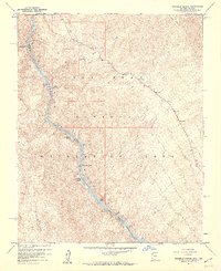
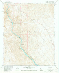
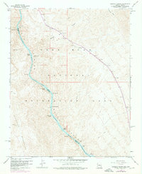
Editions of this 1959 Ringbolt Rapids Map
4 editions found
Other maps of this area

1886 · Camp Mohave
USGS Topo · 1:250,000

1886 · Saint Thomas
USGS Topo · 1:250,000

1892 · Camp Mohave
USGS Topo · 1:250,000

1893 · Saint Thomas
USGS Topo · 1:250,000

1926 · Nelson
USGS Topo · 1:96,000

1926 · Boulder Canyon
USGS Topo · 1:96,000

1942 · Camp Mohave
USGS Topo · 1:250,000

1947 · Kingman
USGS Topo · 1:250,000

1948 · Kingman
USGS Topo · 1:250,000

1952 · Henderson
USGS Topo · 1:62,500