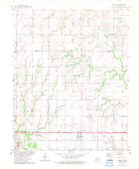
1982 Map of Ringwood
USGS Topo · Published 1983About this map
Ringwood and Meno anchor the southern reaches of this landscape in the early 1980s, situated along a stretch of highway marked as Under Construction. This survey illustrates a rural Oklahoma economy defined by extensive extraction and agriculture, dominated by a large Oil and Gas Field that spans the central sections of the quadrangle. Drainage patterns are defined by the meandering courses of Turkey Creek and Indian Creek, which cut through the terrain near the Alfalfa Co Major Co boundary.
Find a feature on this map
20 named features on this map. Tap any name to fly to it.
Don’t see what you’re looking for? This feature index may not catch every label — zoom into the map to look around manually.
Map Details
Editions of this 1982 Ringwood Map
This is the sole edition of this map. No revisions or reprints were ever made.
Other maps of this area

1955 · Woodward
USGS Topo · 1:250,000

1956 · Ringwood
USGS Topo · 1:62,500

1958 · Woodward
USGS Topo · 1:250,000

1969 · Goltry
USGS Topo · 1:24,000

1969 · Fairview NE
USGS Topo · 1:24,000

1969 · Helena
USGS Topo · 1:24,000

1969 · Fairview SE
USGS Topo · 1:24,000

1969 · Jet SE
USGS Topo · 1:24,000
1982 · Ringwood SW
USGS Topo · 1:24,000
1982 · Lahoma
USGS Topo · 1:24,000