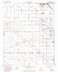
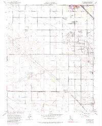
1954 Map of Rio Bravo
USGS Topo · Published 1988About this map
Industrial and agricultural life in the San Joaquin Valley is well-defined by the expansion of Shafter and the established oil operations of the Rio Bravo Field. The landscape is a rigid grid of streets named for major California cities, such as Los Angeles Street and San Diego Street, reflecting a planned approach to rural settlement. In the early 1950s, the region was a bustling corridor for two major railroads, with the Atchison Topeka and Santa Fe and the Southern Pacific cutting through the terrain. Evidence of local community life appears in clusters like Mexican Colony and Cherokee Strip, while the Rio Bravo Union School and Kern Jr Academy served the growing population. The prevalence of Oil Wells and a dedicated Oil Pumping Sta underscores the critical role of petroleum production alongside the valley's irrigation-driven agriculture.
Find a feature on this map
26 named features on this map. Tap any name to fly to it.
Don’t see what you’re looking for? This feature index may not catch every label — zoom into the map to look around manually.
Map Details
Editions of this 1954 Rio Bravo Map
5 editions found
Other maps of this area

1910 · Buena Vista Lake
USGS Topo · 1:125,000

1912 · Buena Vista Lake
USGS Topo · 1:125,000

1929 · Stevens
USGS Topo · 1:31,680

1929 · Coles Levee
USGS Topo · 1:31,680

1930 · Leonards
USGS Topo · 1:31,680

1930 · Wasco
USGS Topo · 1:31,680

1930 · Famoso
USGS Topo · 1:31,680

1930 · Rosedale
USGS Topo · 1:31,680

1931 · Rio Bravo
USGS Topo · 1:31,680

1932 · East Elk Hills
USGS Topo · 1:31,680