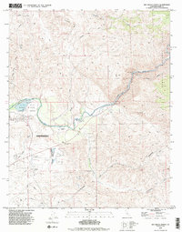
1992 Map of Rio Bravo Ranch
USGS Topo · Published 1995About this map
The Kern River carves a significant corridor through this landscape northeast of Bakersfield, where water management and industrial activity meet. The southern portion of the map is defined by an extensive Oil Field and infrastructure like the Rio Bravo Airport, while the Kern River County Park provides a recreational focus around Lake Ming. This 1990s revision reveals a complex layering of land use, from the managed flow of the river feeding a power plant to the historical marker of the Father Garces Monument. To the north, the terrain rises toward Pyramid Hill and the edge of the Sequoia National Forest, with Rancheria Creek and Cottonwood Creek draining the upland slopes. Local transit is anchored by Breckenridge Road, linking the Rio Bravo Ranch vicinity to the surrounding gravel operations and resource-rich foothills.
Find a feature on this map
18 named features on this map. Tap any name to fly to it.
Don’t see what you’re looking for? This feature index may not catch every label — zoom into the map to look around manually.
Map Details
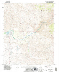
Editions of this 1992 Rio Bravo Ranch Map
2 editions found
Other maps of this area

1906 · Bakersfield
USGS Topo · 1:62,500

1914 · Caliente
USGS Topo · 1:125,000

1920 · Delonagha
USGS Topo · 1:62,500

1926 · Glennville
USGS Topo · 1:62,500

1929 · Bena
USGS Topo · 1:31,680

1929 · Fairfax School
USGS Topo · 1:31,680

1931 · Edison
USGS Topo · 1:31,680

1932 · Bena
USGS Topo · 1:31,680

1932 · Fairfax School
USGS Topo · 1:31,680

1932 · Woody
USGS Topo · 1:62,500