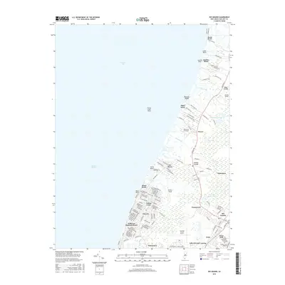
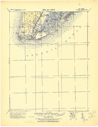
2016 Map of Rio Grande
USGS Topo · Published 2016About this map
Del Haven and the surrounding coastal communities line the eastern shore of the Delaware Bay, showcasing the residential density and complex marshland hydrology of the Cape May peninsula. The landscape is defined by its series of beach settlements, from Reeds Beach in the north down to Villas, many of which are connected by S Delsea Dr. These communities are situated between the bay's tidal flats, including Fishing Creek Shoal, and inland wetlands where features like Bumping Station Pond and Hickory Island emerge from the low-lying terrain.
Find a feature on this map
123 named features on this map. Tap any name to fly to it.
Don’t see what you’re looking for? This feature index may not catch every label — zoom into the map to look around manually.
Map Details
Editions of this 2016 Rio Grande Map
This is the sole edition of this map. No revisions or reprints were ever made.
Other maps of this area
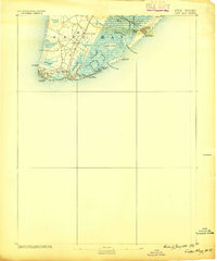
1888 · Cape May
USGS Topo · 1:62,500
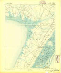
1888 · Dennisville
USGS Topo · 1:62,500

1890 · Maurice Cove
USGS Topo · 1:62,500
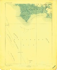
1891 · Maurice Cove
USGS Topo · 1:62,500
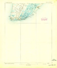
1893 · Cape May
USGS Topo · 1:62,500
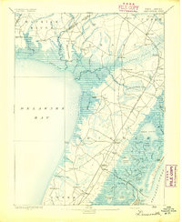
1894 · Dennisville
USGS Topo · 1:62,500
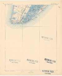
1898 · Cape May
USGS Topo · 1:62,500

1899 · Vineland
USGS Topo · 1:125,000
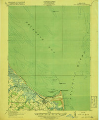
1918 · Cape Henlopen
USGS Topo · 1:62,500
1918 · Cape May
USGS Topo · 1:62,500
Featured Places
- Lower Township, NJ
- Middle Township, NJ
- Villas, Lower Township
- Erma Park, Lower Township
- Norburys Landing, Middle Township