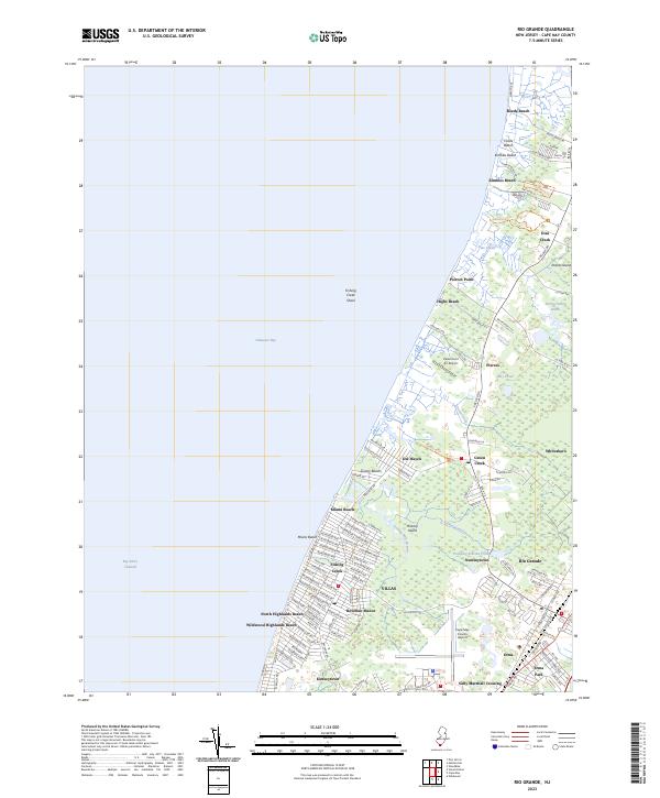
2023 Map of Rio Grande
USGS Topo · Published 2023About this map
Delaware Bay defines the western edge of this coastal survey, where a string of shoreline communities including Miami Beach, Highs Beach, and Reeds Beach meet the tidal flats. The interior landscape is characterized by a dense network of residential developments and historic crossroads settlements like Rio Grande, Green Creek, and Whitesboro. The infrastructure is dominated by the Cape May County Airport and the heavy corridors of S Delsea Dr and Rte 47 S, which facilitate movement between the bay and the Atlantic resorts just to the east.
Find a feature on this map
120 named features on this map. Tap any name to fly to it.
Don’t see what you’re looking for? This feature index may not catch every label — zoom into the map to look around manually.
Map Details
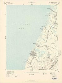
Editions of this 2023 Rio Grande Map
This is the sole edition of this map. No revisions or reprints were ever made.
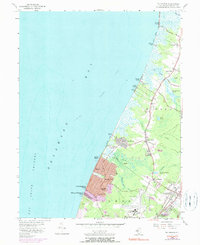
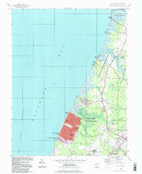
Historical Maps of Dias Creek Through Time
4 maps found
Featured Locations
- Lower Township, NJ
- Middle Township, NJ
- Nummytown, Middle Township
- Villas, Lower Township
- Erma Park, Lower Township