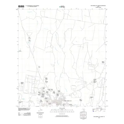
2010 Map of Rio Grande City North
USGS Topo · Published 2010About this map
Rio Grande City serves as the focal point for this 2010 survey of the borderlands, where the traditional urban grid transitions into an extensive network of colonias. The presence of the Fort Ringgold Historic District and the Silverio de la Pena Drugstore and Post Office highlights the deep cultural and administrative roots of the area. Away from the town center, the landscape is defined by the winding course of Los Olmos Creek and a proliferation of residential developments such as Sammy Martinez Colonia, Ranchitos del Norte Colonia, and La Escondida Colonia. The northern portion of the map reveals a more open landscape utilized for infrastructure, including the Starr County Airport and water management features like Alvarez Lake Dam and the Lower Ellison Lake Dam. This mapping of numerous named colonias provides an invaluable record of modern settlement patterns in the Rio Grande valley.
Find a feature on this map
50 named features on this map. Tap any name to fly to it.
Don’t see what you’re looking for? This feature index may not catch every label — zoom into the map to look around manually.
Map Details
Editions of this 2010 Rio Grande City North Map
This is the sole edition of this map. No revisions or reprints were ever made.
Other maps of this area

1938 · El Sauz
USGS Topo · 1:62,500

1938 · Sal Colorada
USGS Topo · 1:62,500

1949 · Mc Allen
USGS Topo · 1:250,000

1954 · McAllen
USGS Topo · 1:250,000

1956 · Garcias
USGS Topo · 1:62,500

1956 · Escobares
USGS Topo · 1:62,500

1957 · Mc Allen
USGS Topo · 1:250,000

1962 · McAllen
USGS Topo · 1:250,000

1965 · Rio Grande City South
USGS Topo · 1:24,000

1965 · Los Garzas
USGS Topo · 1:24,000
Featured Places
- Rio Grande City, TX
- A T Martinez Colonia, TX
- El Mesquite Colonia, TX
- El Rancho Vela Colonia, TX
- Bella Vista Colonia, TX