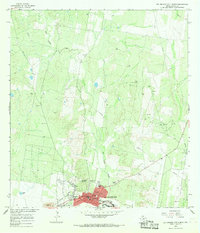
1965 Map of Rio Grande City North
USGS Topo · Published 1968About this map
Rio Grande City anchors this South Texas landscape during a period of mid-century expansion and resource development. The town's grid is clearly defined by historical thoroughfares such as Main St, Hidalgo St, and Water St, centered around the civic hubs of Main Plaza and San Juan Plaza. Local institutions like the Immaculate Conception Sch and Hospital reflect the community's established social infrastructure.
Find a feature on this map
28 named features on this map. Tap any name to fly to it.
Don’t see what you’re looking for? This feature index may not catch every label — zoom into the map to look around manually.
Map Details
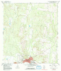
Editions of this 1965 Rio Grande City North Map
2 editions found
Other maps of this area

1938 · El Sauz
USGS Topo · 1:62,500

1938 · Sal Colorada
USGS Topo · 1:62,500

1949 · Mc Allen
USGS Topo · 1:250,000

1954 · McAllen
USGS Topo · 1:250,000

1956 · Garcias
USGS Topo · 1:62,500

1956 · Escobares
USGS Topo · 1:62,500

1957 · Mc Allen
USGS Topo · 1:250,000

1962 · McAllen
USGS Topo · 1:250,000

1965 · Rio Grande City South
USGS Topo · 1:24,000

1965 · Los Garzas
USGS Topo · 1:24,000
Featured Places
- Rio Grande City, TX
- La Lomita Colonia, TX
- Salmon Colonia, TX
- Live Oak Estates Colonia, Rio Grande City
- Francisca Colonia, Rio Grande City