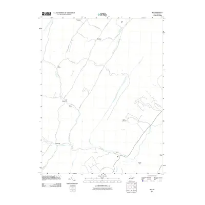
2011 Map of Rio
USGS Topo · Published 2011About this map
The North River winds through the southeastern portion of this terrain, where the settlement of Rio serves as a local hub near the Rio Post Office. The landscape is defined by its drainages and ridges, including the distinct South Mountain and the water gap at Staacks Gap. Further north, the village of Kirby and its associated Kirby Post Office sit along Grassy Lick Run, a primary waterway that parallels the north-south oriented ridges like Ford Hill.
Find a feature on this map
43 named features on this map. Tap any name to fly to it.
Don’t see what you’re looking for? This feature index may not catch every label — zoom into the map to look around manually.
Map Details
Editions of this 2011 Rio Map
This is the sole edition of this map. No revisions or reprints were ever made.
Other maps of this area

1891 · Romney
USGS Topo · 1:125,000

1920 · Moorefield
USGS Topo · 1:62,500

1920 · Keyser
USGS Topo · 1:62,500

1921 · Keyser
USGS Topo · 1:48,000

1921 · Hanging Rock
USGS Topo · 1:48,000

1921 · Moorefield
USGS Topo · 1:48,000

1922 · Moorefield
USGS Topo · 1:62,500

1922 · Wardensville
USGS Topo · 1:62,500

1922 · Keyser
USGS Topo · 1:62,500

1923 · Hanging Rock
USGS Topo · 1:62,500