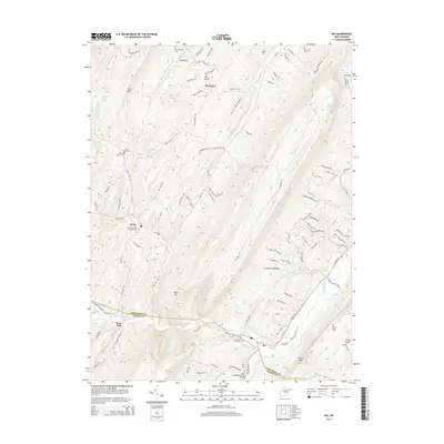
2014 Map of Rio
USGS Topo · Published 2014About this map
Rio sits along the North River at the junction of several mountain runs, serving as a focal point for this rural West Virginia landscape. The terrain is defined by prominent ridges like Short Mtn and South Mountain, which channel numerous waterways such as Sperry Run, Turkey Run, and Rabbit Run toward the river valley. This geography dictated the placement of small, isolated settlements and family burial grounds that remain key to the area's local identity.
Find a feature on this map
117 named features on this map. Tap any name to fly to it.
Don’t see what you’re looking for? This feature index may not catch every label — zoom into the map to look around manually.
Map Details
Editions of this 2014 Rio Map
This is the sole edition of this map. No revisions or reprints were ever made.
Other maps of this area

1891 · Romney
USGS Topo · 1:125,000

1920 · Moorefield
USGS Topo · 1:62,500

1920 · Keyser
USGS Topo · 1:62,500

1921 · Keyser
USGS Topo · 1:48,000

1921 · Hanging Rock
USGS Topo · 1:48,000

1921 · Moorefield
USGS Topo · 1:48,000

1922 · Moorefield
USGS Topo · 1:62,500

1922 · Wardensville
USGS Topo · 1:62,500

1922 · Keyser
USGS Topo · 1:62,500

1923 · Hanging Rock
USGS Topo · 1:62,500