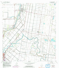
1956 Map of Rio Hondo
USGS Topo · Published 1992About this map
The winding Arroyo Colorado and the serpentine Resaca De Los Fresnos dominate this landscape, illustrating the intricate drainage and irrigation systems of the Rio Grande Valley. In the mid-1950s, Rio Hondo serves as a central hub for the surrounding agricultural tracts, supported by industrial features like the Oil Tanks and Port Harlingen. The mapping captures the transition from rail-dependent transport to highway travel, evidenced by an Old Railroad Grade and the established network of ranch roads and highways.
Find a feature on this map
30 named features on this map. Tap any name to fly to it.
Don’t see what you’re looking for? This feature index may not catch every label — zoom into the map to look around manually.
Map Details
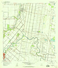
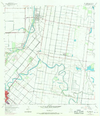
Editions of this 1956 Rio Hondo Map
3 editions found
Other maps of this area

1929 · Rio Hondo
USGS Topo · 1:24,000

1929 · Harlingen
USGS Topo · 1:24,000

1929 · La Paloma
USGS Topo · 1:24,000

1930 · Los Fresnos
USGS Topo · 1:24,000

1930 · Barreda
USGS Topo · 1:24,000

1930 · La Leona
USGS Topo · 1:24,000

1930 · Laguna Atascosa
USGS Topo · 1:24,000

1932 · Combes
USGS Topo · 1:31,680

1932 · Rio Hondo
USGS Topo · 1:31,680

1932 · Harlingen
USGS Topo · 1:31,680