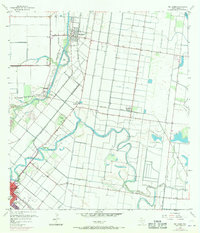
1956 Map of Rio Hondo
USGS Topo · Published 1970About this map
Rio Hondo and the agricultural landscape of Cameron County are defined by an intricate network of irrigation ditches and the winding paths of the Arroyo Colorado and Resaca De Los Fresnos. This 1956 survey, updated with 1970 revisions, illustrates the deep connection between the Lower Rio Grande Valley's economy and its water management systems. In the southwest, the San Benito city boundary encompasses local landmarks like the Dolly Vinsant Hospital and the Doctor Cash Sch, while the Monte Meta Cemetery serves as a significant genealogical site. The transport infrastructure of the mid-20th century is well-represented, showing the Missouri Pacific and Southern Pacific railroads cutting through the grid-like fields near Lozano and Lantana. From the Port Harlingen industrial area to the Municipal Airport, the map provides a look at a region transitioning through post-war development and agricultural modernization.
Find a feature on this map
30 named features on this map. Tap any name to fly to it.
Don’t see what you’re looking for? This feature index may not catch every label — zoom into the map to look around manually.
Map Details
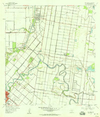
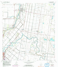
Editions of this 1956 Rio Hondo Map
3 editions found
Other maps of this area

1929 · Rio Hondo
USGS Topo · 1:24,000

1929 · Harlingen
USGS Topo · 1:24,000

1929 · La Paloma
USGS Topo · 1:24,000

1930 · Los Fresnos
USGS Topo · 1:24,000

1930 · Barreda
USGS Topo · 1:24,000

1930 · La Leona
USGS Topo · 1:24,000

1930 · Laguna Atascosa
USGS Topo · 1:24,000

1932 · Combes
USGS Topo · 1:31,680

1932 · Rio Hondo
USGS Topo · 1:31,680

1932 · Harlingen
USGS Topo · 1:31,680