Loading...
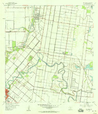
Loading map...1956 Map of Rio Hondo
USGS Topo · Published 1956About this map
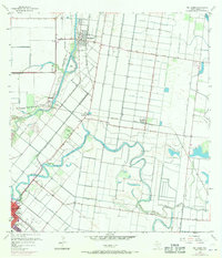
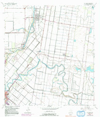
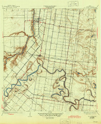
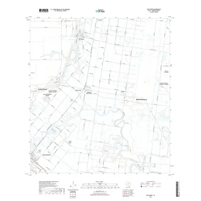
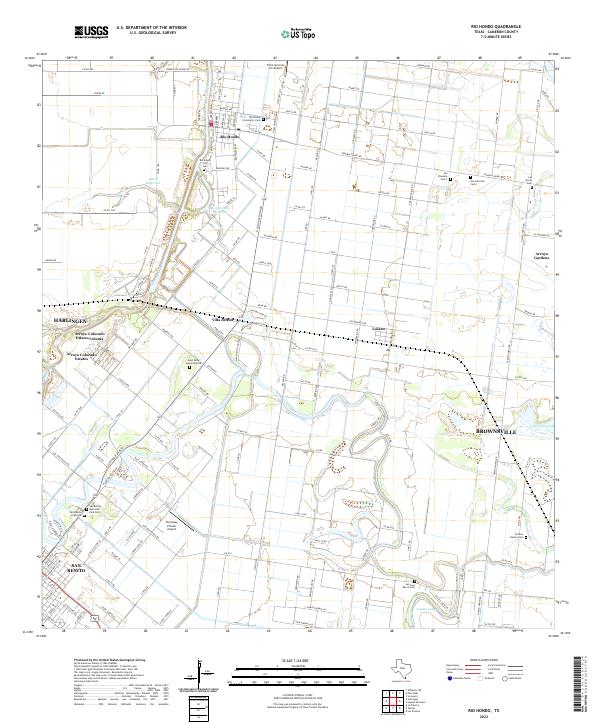
The agricultural and industrial character of the Rio Grande Valley is captured here during the mid-1950s, defined by an intricate network of irrigation ditches, levees, and canal dredgings. The Arroyo Colorado serves as a primary artery, supporting Port Harlingen with its nearby oil tanks and spoil banks. In the north, Rio Hondo sits at the junction of the Missouri Pacific and several elevated ditches, while the southern portion of the map is anchored by the growing city of San Benito.
Find a feature on this map
34 named features on this map. Tap any name to fly to it.
Don’t see what you’re looking for? This feature index may not catch every label — zoom into the map to look around manually.
Map Details
Date Portrayed1956
Date Published1956
PublisherU.S. Geological Survey
Map TypeTopographic
Scale1:24,000
Physical Dimensions23 x 26.9 inches
Editions of this 1956 Rio Hondo Map
3 editions found
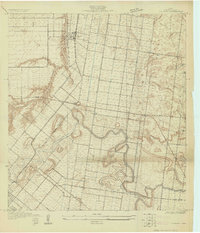
Historical Maps of Brownsville Through Time
8 maps found
Featured Locations
Source Details
SourceU.S. Geological Survey
CopyrightPublic Domain