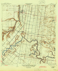
1932 Map of Rio Hondo
USGS Topo · Published 1945About this map
The winding Arroyo Colorado and the serpentine curves of the Resaca de los Fresnos dominate this 1929 survey of Cameron County. The settlement of Rio Hondo sits at a critical junction where the river meets the Missouri Pacific railroad, illustrating the importance of combined water and rail transport in the early twentieth-century Rio Grande Valley. The landscape is a network of irrigation and local transit, with prominent routes like Sam Houston Boulevard and Fresnal Road connecting dispersed agricultural communities.
Find a feature on this map
26 named features on this map. Tap any name to fly to it.
Don’t see what you’re looking for? This feature index may not catch every label — zoom into the map to look around manually.
Map Details
Editions of this 1932 Rio Hondo Map
3 editions found
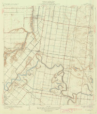
Other maps of this area

1929 · Rio Hondo
USGS Topo · 1:24,000

1929 · Harlingen
USGS Topo · 1:24,000

1929 · La Paloma
USGS Topo · 1:24,000

1930 · Los Fresnos
USGS Topo · 1:24,000

1930 · Barreda
USGS Topo · 1:24,000

1930 · La Leona
USGS Topo · 1:24,000

1930 · Laguna Atascosa
USGS Topo · 1:24,000

1932 · Combes
USGS Topo · 1:31,680

1932 · Rio Hondo
USGS Topo · 1:31,680

1932 · Harlingen
USGS Topo · 1:31,680