
1954 Map of Ripley
USGS Topo · Published 1956About this map
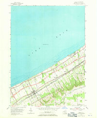
The Lake Erie shoreline of Chautauqua County defines this mid-century portrait of Ripley and its surrounding hamlets. During this era, the landscape was undergoing a major transformation with the New York State Thruway labeled as under construction, cutting a modern path parallel to the established New York Central Railroad and the New York Chicago and St Louis Railroad. These massive transportation corridors bisect the agricultural land between the escarpment and the lake, connecting the settlements of Forsyth and East Ripley. Away from the busy transit lines, the map reveals the quiet rural character of the region, anchored by the Quincy Rural Cem and the small Ripley Airport (Private). The topography rises sharply from the lake plains into the hills of the Westfield border, where family-named routes like Barden Road and Welch Hill Road wind through the drainage of Belson Creek.
Find a feature on this map
36 named features on this map. Tap any name to fly to it.
Don’t see what you’re looking for? This feature index may not catch every label — zoom into the map to look around manually.
Map Details
Editions of this 1954 Ripley Map
2 editions found
Other maps of this area

1899 · Westfield
USGS Topo · 1:62,500

1905 · Clymer
USGS Topo · 1:62,500

1913 · North East
USGS Topo · 1:62,500

1915 · North East
USGS Topo · 1:62,500

1939 · Clymer
USGS Topo · 1:62,500

1941 · Clymer
USGS Topo · 1:62,500

1943 · North East
USGS Topo · 1:62,500

1954 · South Ripley
USGS Topo · 1:24,000
1954 · Sherman
USGS Topo · 1:24,000
1954 · Westfield
USGS Topo · 1:24,000