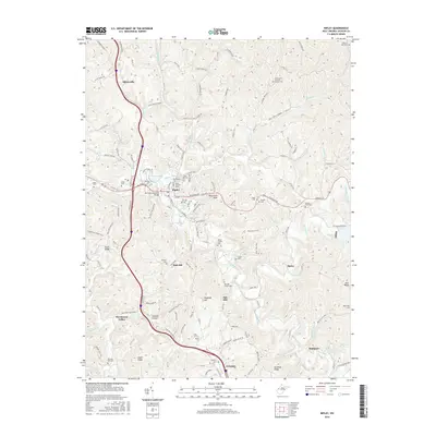
2016 Map of Ripley
USGS Topo · Published 2016About this map
Ripley serves as the central hub of this Jackson County landscape, situated where Mill Creek meets a network of local routes including the Ravenswood Pike. The map reveals a dense concentration of commemorative sites within the town, such as the Old Ripley Cem and the Early Settlers Cem, which point to the deep roots of this community. Crossing the creek, the McGinley Memorial Bridge connects the town's core to surrounding neighborhoods and trails like the Whiting Park Trail.
Find a feature on this map
147 named features on this map. Tap any name to fly to it.
Don’t see what you’re looking for? This feature index may not catch every label — zoom into the map to look around manually.
Map Details
Editions of this 2016 Ripley Map
This is the sole edition of this map. No revisions or reprints were ever made.
Other maps of this area

1906 · Kenna
USGS Topo · 1:62,500

1906 · Winfield
USGS Topo · 1:62,500

1907 · Kenna
USGS Topo · 1:62,500

1907 · Ripley
USGS Topo · 1:62,500

1908 · Winfield
USGS Topo · 1:62,500

1908 · Ravenswood
USGS Topo · 1:62,500

1926 · Ravenswood
USGS Topo · 1:62,500

1926 · Ripley
USGS Topo · 1:62,500

1928 · Ravenswood
USGS Topo · 1:62,500

1928 · Ripley
USGS Topo · 1:62,500