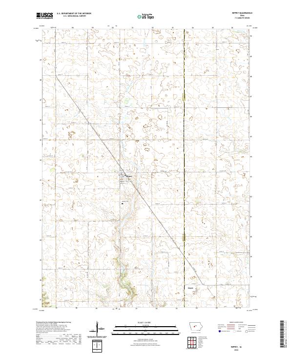
2022 Map of Rippey
USGS Topo · Published 2022About this map
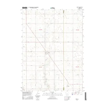
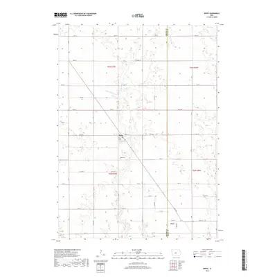
The settlement of Rippey anchors this western Iowa landscape, situated at the intersection of local routes in Greene County. The town plan is clearly defined against the surrounding agricultural section lines, with the Rippey Cem located just to the south. The terrain is shaped by a network of small waterways, most notably Snake Creek, which winds through the southern and central portions of the quadrangle. Other drainage patterns include Parrish Branch and Jim Creek, illustrating the natural hydrology that dictates the region's land use.
Find a feature on this map
42 named features on this map. Tap any name to fly to it.
Don’t see what you’re looking for? This feature index may not catch every label — zoom into the map to look around manually.
Map Details
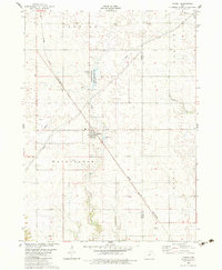
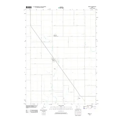
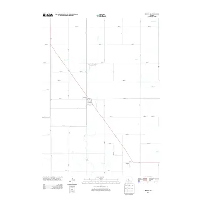
Editions of this 2022 Rippey Map
This is the sole edition of this map. No revisions or reprints were ever made.
Historical Maps of Rippey Through Time
6 maps found
Featured Locations
- Union Township, IA
- Junction Township, IA
- Washington Township, IA
- Rippey, Washington Township
- Angus, Union Township