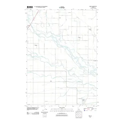
2010 Map of Ririe
USGS Topo · Published 2010About this map
The braided channels of the Snake River dominate this high-desert agricultural landscape, where an intricate network of man-made waterways supports the valley's productivity. In this era, the town of Ririe serves as a local hub near the Enterprise Canal and Harrison Canal, while smaller communities like Archer and Lyman anchor the northern reaches. The reliance on water engineering is evident in the dense concentration of canals, including the Farmers Friend Canal and Burgess Canal, which navigate the terrain alongside natural features such as Texas Slough and Lowder Slough.
Find a feature on this map
50 named features on this map. Tap any name to fly to it.
Don’t see what you’re looking for? This feature index may not catch every label — zoom into the map to look around manually.
Map Details
Editions of this 2010 Ririe Map
This is the sole edition of this map. No revisions or reprints were ever made.
Other maps of this area

1948 · Rigby
USGS Topo · 1:24,000

1948 · Ucon
USGS Topo · 1:24,000

1949 · Ucon
USGS Topo · 1:24,000

1949 · Rexburg
USGS Topo · 1:24,000

1949 · Rigby
USGS Topo · 1:24,000

1950 · Ririe
USGS Topo · 1:24,000

1950 · Rexburg
USGS Topo · 1:24,000

1950 · Rigby
USGS Topo · 1:62,500

1950 · Rigby SE
USGS Topo · 1:24,000

1951 · Rigby SE
USGS Topo · 1:24,000