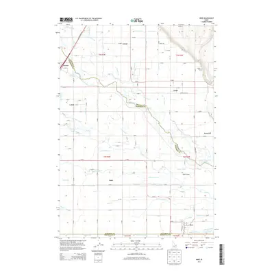
2013 Map of Ririe
USGS Topo · Published 2013About this map
The Snake River carves through this agricultural landscape at the tri-county junction of Jefferson, Madison, and Bonneville counties. The region's development is defined by an intricate network of irrigation and drainage infrastructure, including the Reid Canal, Rigby Canal, and the Dry Bed channel. These waterways supported the growth of clustered settlements like Ririe, Archer, and Sunnydell, which served as hubs for the surrounding farmsteads.
Find a feature on this map
119 named features on this map. Tap any name to fly to it.
Don’t see what you’re looking for? This feature index may not catch every label — zoom into the map to look around manually.
Map Details
Editions of this 2013 Ririe Map
This is the sole edition of this map. No revisions or reprints were ever made.
Other maps of this area

1948 · Rigby
USGS Topo · 1:24,000

1948 · Ucon
USGS Topo · 1:24,000

1949 · Ucon
USGS Topo · 1:24,000

1949 · Rexburg
USGS Topo · 1:24,000

1949 · Rigby
USGS Topo · 1:24,000

1950 · Ririe
USGS Topo · 1:24,000

1950 · Rexburg
USGS Topo · 1:24,000

1950 · Rigby
USGS Topo · 1:62,500

1950 · Rigby SE
USGS Topo · 1:24,000

1951 · Rigby SE
USGS Topo · 1:24,000