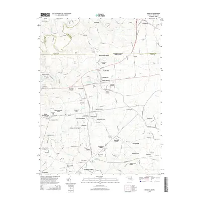
2014 Map of Rising Sun
USGS Topo · Published 2014About this map
Maryland and Pennsylvania meet at the historic Mason-Dixon line in this detailed study of the borderlands between Lancaster, Chester, and Cecil counties. The town of Rising Sun serves as a central hub, surrounded by a dense network of residential developments and historic crossroads like Colora and Nottingham. The landscape is defined by the winding course of Octoraro Creek and the Octoraro Lakes to the west, while numerous family and community burial grounds, such as the W Nottingham Meetinghouse Cem and Rising Sun Cem, provide significant touchpoints for genealogical research. The presence of Lynch's Landing Airport and the intersection of various regional pikes underscore the area's role as a transit corridor between the rural farmlands and growing suburban communities.
Find a feature on this map
184 named features on this map. Tap any name to fly to it.
Don’t see what you’re looking for? This feature index may not catch every label — zoom into the map to look around manually.
Map Details
Editions of this 2014 Rising Sun Map
This is the sole edition of this map. No revisions or reprints were ever made.
Other maps of this area

1898 · Elkton
USGS Topo · 1:62,500

1900 · Elkton
USGS Topo · 1:62,500

1900 · Havre De Grace
USGS Topo · 1:62,500

1904 · Coatesville
USGS Topo · 1:62,500

1906 · Coatesville
USGS Topo · 1:62,500

1912 · Quarryville
USGS Topo · 1:62,500

1917 · Elkton
USGS Topo · 1:62,500

1918 · Coatesville
USGS Topo · 1:62,500

1942 · Havre De Grace
USGS Topo · 1:62,500

1942 · Elkton
USGS Topo · 1:62,500
Featured Places
- Little Britain Township, PA
- Rising Sun, MD
- Octararo Lakes, MD
- Principio, MD
- Nottingham, West Nottingham Township