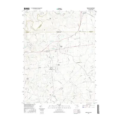
2016 Map of Rising Sun
USGS Topo · Published 2016About this map
Rising Sun serves as a primary hub within this borderland landscape, where the Maryland-Pennsylvania line divides Cecil, Lancaster, and Chester counties. The area is defined by a series of small, interconnected settlements including Harrisville, Colora, and Farmington, many of which grew around early crossroads and water power sites. Along the northern reaches of Octoraro Creek, the map shows Lees Mill, signifying the area's milling history, while the historic West Nottingham Meetinghouse and several burial grounds like Mount Pleasant Cemetery and Ebenezer Cemetery point to long-established community roots. The terrain transitions from the elevations of Goat Hill to the winding drainage basins of Basin Run, Nesbitt Run, and Love Run, illustrating a landscape deeply shaped by its waterways and agricultural tradition.
Find a feature on this map
148 named features on this map. Tap any name to fly to it.
Don’t see what you’re looking for? This feature index may not catch every label — zoom into the map to look around manually.
Map Details
Editions of this 2016 Rising Sun Map
This is the sole edition of this map. No revisions or reprints were ever made.
Other maps of this area

1898 · Elkton
USGS Topo · 1:62,500

1900 · Elkton
USGS Topo · 1:62,500

1900 · Havre De Grace
USGS Topo · 1:62,500

1904 · Coatesville
USGS Topo · 1:62,500

1906 · Coatesville
USGS Topo · 1:62,500

1912 · Quarryville
USGS Topo · 1:62,500

1917 · Elkton
USGS Topo · 1:62,500

1918 · Coatesville
USGS Topo · 1:62,500

1942 · Havre De Grace
USGS Topo · 1:62,500

1942 · Elkton
USGS Topo · 1:62,500
Featured Places
- Little Britain Township, PA
- Rising Sun, MD
- Octararo Lakes, MD
- Principio, MD
- Nottingham, West Nottingham Township