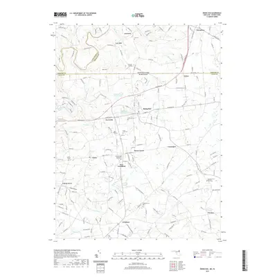
2019 Map of Rising Sun
USGS Topo · Published 2019About this map
Octoraro Creek winds through the borderlands where Pennsylvania and Maryland meet, anchoring a landscape defined by small crossroad communities and long-standing agricultural roots. This region features a dense network of early 21st-century settlements such as Rising Sun, Harrisville, and West Nottingham. The map reveals a high concentration of local heritage sites, including the West Nottingham Presbyterian Church Cem and Ebenezer United Methodist Church Cem, alongside family burial grounds like the Krauss Family Cem.
Find a feature on this map
160 named features on this map. Tap any name to fly to it.
Don’t see what you’re looking for? This feature index may not catch every label — zoom into the map to look around manually.
Map Details
Editions of this 2019 Rising Sun Map
This is the sole edition of this map. No revisions or reprints were ever made.
Other maps of this area

1898 · Elkton
USGS Topo · 1:62,500

1900 · Elkton
USGS Topo · 1:62,500

1900 · Havre De Grace
USGS Topo · 1:62,500

1904 · Coatesville
USGS Topo · 1:62,500

1906 · Coatesville
USGS Topo · 1:62,500

1912 · Quarryville
USGS Topo · 1:62,500

1917 · Elkton
USGS Topo · 1:62,500

1918 · Coatesville
USGS Topo · 1:62,500

1942 · Havre De Grace
USGS Topo · 1:62,500

1942 · Elkton
USGS Topo · 1:62,500
Featured Places
- Little Britain Township, PA
- Rising Sun, MD
- Octararo Lakes, MD
- Principio, MD
- Nottingham, West Nottingham Township