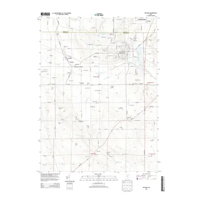
2013 Map of Rittman
USGS Topo · Published 2013About this map
Rittman and Wadsworth define the northern corridor of this landscape along the Medina and Wayne County line. The terrain is a complex network of agricultural drainage, where Chippewa Creek and the Little Chippewa Creek are joined by man-made channels like Steele Ditch and Whitman Ditch. This 2013 survey illustrates a deeply rooted farming community, characterized by dozens of named family operations including Maple Grove Farm, Sugar Bridge Farms, and the Stine View Dairy.
Find a feature on this map
140 named features on this map. Tap any name to fly to it.
Don’t see what you’re looking for? This feature index may not catch every label — zoom into the map to look around manually.
Map Details
Editions of this 2013 Rittman Map
This is the sole edition of this map. No revisions or reprints were ever made.
Other maps of this area

1901 · Massillon
USGS Topo · 1:62,500

1901 · Wooster
USGS Topo · 1:62,500

1903 · Massillon
USGS Topo · 1:62,500

1903 · Wooster
USGS Topo · 1:62,500

1903 · Akron
USGS Topo · 1:62,500

1904 · Medina
USGS Topo · 1:62,500

1905 · Akron
USGS Topo · 1:62,500

1906 · Medina
USGS Topo · 1:62,500

1950 · Cleveland
USGS Topo · 1:250,000

1951 · Canton
USGS Topo · 1:250,000