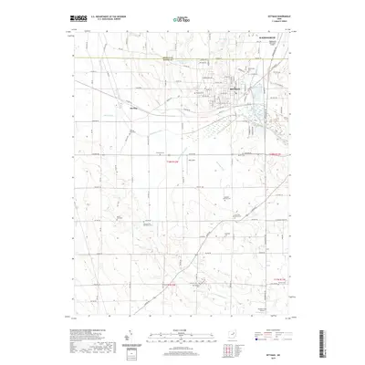
2019 Map of Rittman
USGS Topo · Published 2019About this map
The boundary between Medina Co and Wayne Co bisects this landscape where the agricultural tradition meets industrial growth. The city of Rittman serves as a central hub, while the village of Sterling anchors the western edge near Steele Ditch and Chippewa Creek. A dense collection of burial grounds, including the Crown Hill Mennonite Cem and Old Dunkard Cem, suggests a long-standing settlement pattern rooted in local religious communities. To the north, Wadsworth extends toward its municipal airport, while the southern reaches are dominated by drainage networks like Little Chippewa Cr and Whitman Ditch. The presence of small airfields such as Hilty Field and Markley Farm Airport alongside the Rawiga Country Club Lake highlights the modern diversification of land use in this Ohio corridor.
Find a feature on this map
114 named features on this map. Tap any name to fly to it.
Don’t see what you’re looking for? This feature index may not catch every label — zoom into the map to look around manually.
Map Details
Editions of this 2019 Rittman Map
This is the sole edition of this map. No revisions or reprints were ever made.
Other maps of this area

1901 · Massillon
USGS Topo · 1:62,500

1901 · Wooster
USGS Topo · 1:62,500

1903 · Massillon
USGS Topo · 1:62,500

1903 · Wooster
USGS Topo · 1:62,500

1903 · Akron
USGS Topo · 1:62,500

1904 · Medina
USGS Topo · 1:62,500

1905 · Akron
USGS Topo · 1:62,500

1906 · Medina
USGS Topo · 1:62,500

1950 · Cleveland
USGS Topo · 1:250,000

1951 · Canton
USGS Topo · 1:250,000