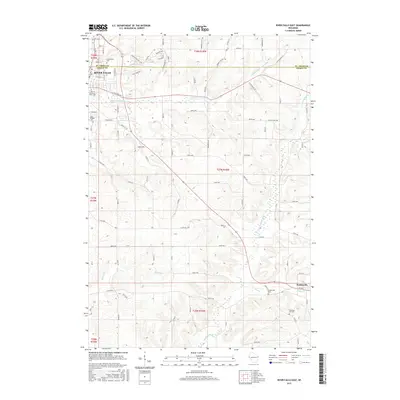
2015 Map of River Falls East
USGS Topo · Published 2015About this map
River Falls sits at the northern edge of this Wisconsin survey, where the S Fork Kinnickinnic River winds through a landscape of structured rural blocks and educational growth. The campus of the Univ of Wisconsin-River Falls marks the southwestern expansion of the city, while the town line between St. Croix Co and Pierce Co bisects the northern residential and commercial districts.
Find a feature on this map
83 named features on this map. Tap any name to fly to it.
Don’t see what you’re looking for? This feature index may not catch every label — zoom into the map to look around manually.
Map Details
Editions of this 2015 River Falls East Map
This is the sole edition of this map. No revisions or reprints were ever made.
Other maps of this area

1940 · Maiden Rock
USGS Topo · 1:62,500

1944 · Red Wing
USGS Topo · 1:62,500

1946 · River Falls
USGS Topo · 1:62,500

1949 · River Falls
USGS Topo · 1:62,500

1949 · Baldwin
USGS Topo · 1:62,500

1950 · Maiden Rock
USGS Topo · 1:62,500

1952 · Red Wing
USGS Topo · 1:62,500

1953 · Saint Paul
USGS Topo · 1:250,000

1959 · Saint Paul
USGS Topo · 1:250,000
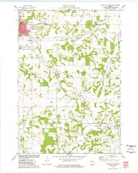
1974 · River Falls East
USGS Topo · 1:24,000