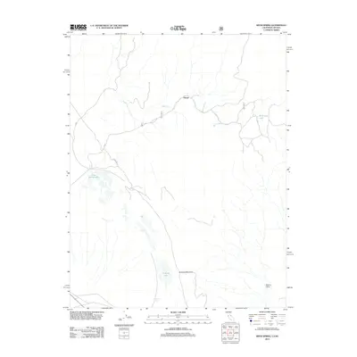
2012 Map of River Spring
USGS Topo · Published 2012About this map
Pizona stands as a focal point in this high-desert landscape along the California-Nevada border, where water sources dictate the patterns of transit and settlement. The map highlights a series of vital desert hydrology features, including the River Spring Lakes and the isolated Antelope Lake situated at the base of Antelope Mountain. These springs and seasonal water bodies have historically served as essential waypoints in an arid region, supporting early ranching and travel before modern infrastructure.
Find a feature on this map
14 named features on this map. Tap any name to fly to it.
Don’t see what you’re looking for? This feature index may not catch every label — zoom into the map to look around manually.
Map Details
Editions of this 2012 River Spring Map
This is the sole edition of this map. No revisions or reprints were ever made.
Other maps of this area

1909 · Hawthorne
USGS Topo · 1:250,000

1911 · Hawthorne
USGS Topo · 1:250,000

1914 · Mt. Morrison
USGS Topo · 1:125,000

1915 · Hawthorne
USGS Topo · 1:250,000

1917 · White Mountain
USGS Topo · 1:125,000

1947 · Mariposa
USGS Topo · 1:250,000

1948 · Walker Lake
USGS Topo · 1:250,000

1948 · Mariposa
USGS Topo · 1:250,000

1957 · Walker Lake
USGS Topo · 1:250,000

1957 · Mariposa
USGS Topo · 1:250,000