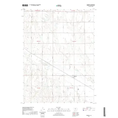
2017 Map of Riverdale
USGS Topo · Published 2017About this map
Riverdale occupies a central position on this Buffalo County landscape, where the meandering Wood River cuts through a grid of rural agricultural roads. The town's layout is centered near Cherry St and 1st Ave, while the surrounding terrain is defined by its water management systems. Several private water bodies, including Hadwiger Reservoir Number 1, Eisele Reservoir, and Jacobson Reservoir, indicate the significance of irrigation and local water storage to the region's farming economy.
Find a feature on this map
41 named features on this map. Tap any name to fly to it.
Don’t see what you’re looking for? This feature index may not catch every label — zoom into the map to look around manually.
Map Details
Editions of this 2017 Riverdale Map
This is the sole edition of this map. No revisions or reprints were ever made.
Other maps of this area

1894 · Kearney
USGS Topo · 1:62,500

1896 · Kearney
USGS Topo · 1:125,000

1955 · Grand Island
USGS Topo · 1:250,000

1957 · Grand Island
USGS Topo · 1:250,000

1958 · Grand Island
USGS Topo · 1:250,000

1961 · Amherst
USGS Topo · 1:24,000

1962 · Riverdale
USGS Topo · 1:24,000

1962 · Elm Creek East
USGS Topo · 1:24,000
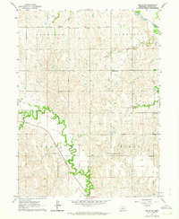
1962 · Miller NE
USGS Topo · 1:24,000
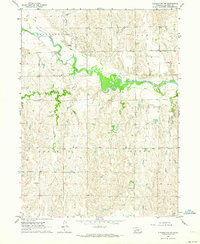
1962 · Pleasanton NW
USGS Topo · 1:24,000