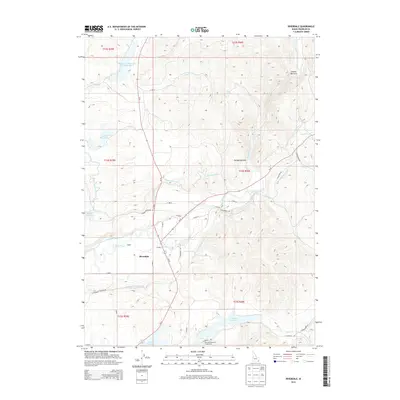
2013 Map of Riverdale
USGS Topo · Published 2013About this map
The Riverdale settlement serves as the central hub for this corner of Franklin County, where the Bear River carves through the landscape at Oneida Narrows. The terrain is defined by an intricate network of irrigation systems and water management projects essential to the local valley economy. Numerous water bodies, including Strongarm Reservoir Number One, Condie Reservoir, and Winder Reservoir, are connected by a web of man-made waterways such as the Twin Lakes Canal, Preston Riverdale Canal, and W Cache Canal. These features reveal how the natural flow of the river has been harnessed and diverted through the decades. Near the Falls, the river's descent is countered by the steady rise of surrounding ridges, while smaller tributaries like Battle Cr and Mink Cr feed into the primary drainage. South of the main village, the Glendale Reservoir and its Glendale Reservoir Access Area mark a significant landmark for modern recreation and water storage.
Find a feature on this map
46 named features on this map. Tap any name to fly to it.
Don’t see what you’re looking for? This feature index may not catch every label — zoom into the map to look around manually.
Map Details
Editions of this 2013 Riverdale Map
This is the sole edition of this map. No revisions or reprints were ever made.
Other maps of this area

1915 · Preston
USGS Topo · 1:96,000

1918 · Preston
USGS Topo · 1:125,000

1955 · Preston
USGS Topo · 1:250,000

1958 · Preston
USGS Topo · 1:250,000

1962 · Preston
USGS Topo · 1:250,000
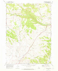
1969 · Treasureton
USGS Topo · 1:24,000
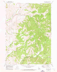
1969 · Mink Creek
USGS Topo · 1:24,000
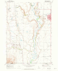
1969 · Weston
USGS Topo · 1:24,000
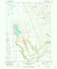
1969 · Banida
USGS Topo · 1:24,000
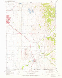
1969 · Franklin
USGS Topo · 1:24,000