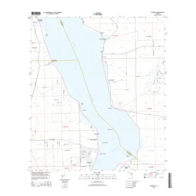
2015 Map of Riverdale
USGS Topo · Published 2015About this map
The Saint Johns River serves as the dominant geographical feature of this 2015 survey, carving through the landscape and defining the boundary between St. Johns, Clay, and Putnam counties. Along its eastern banks, several riverfront settlements and historic landings appear, including Riverdale, Tocoi, and Lane Landing. The concentration of named points and bluffs, such as Deadman Point, Palmetto Bluff, and Pine Bluff, indicates a shoreline defined by its navigable reaches and local importance for river access.
Find a feature on this map
92 named features on this map. Tap any name to fly to it.
Don’t see what you’re looking for? This feature index may not catch every label — zoom into the map to look around manually.
Map Details
Editions of this 2015 Riverdale Map
This is the sole edition of this map. No revisions or reprints were ever made.
Other maps of this area

1912 · Palatka
USGS Topo · 1:48,000

1915 · Palatka
USGS Topo · 1:62,500

1937 · Bakersville
USGS Topo · 1:24,000

1937 · Elkton
USGS Topo · 1:24,000

1937 · Dinner Island
USGS Topo · 1:48,000

1943 · St. Augustine
USGS Topo · 1:62,500

1943 · Dinner Island
USGS Topo · 1:62,500

1944 · Dinner Island
USGS Topo · 1:62,500

1947 · Bostwick
USGS Topo · 1:50,000

1949 · Bostwick
USGS Topo · 1:24,000