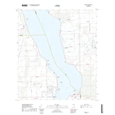
2018 Map of Riverdale
USGS Topo · Published 2018About this map
The Saint Johns River dominates this portion of the Florida interior, acting as the primary geographic border between Clay, Saint Johns, and Putnam counties. The riverbank is defined by a series of prominent landmarks such as Magnolia Point, Tocoi Point, and Palmetto Bluff, where the channel narrows and twists. Along the eastern shore, the historic corridor of Co Rd 13 S connects the small settlements of Tocoi, Riverdale, and Bridgeport. This area reflects a mix of traditional riverfront life and modern aviation interests, evidenced by the Bartram Farms Air-Park.
Find a feature on this map
82 named features on this map. Tap any name to fly to it.
Don’t see what you’re looking for? This feature index may not catch every label — zoom into the map to look around manually.
Map Details
Editions of this 2018 Riverdale Map
This is the sole edition of this map. No revisions or reprints were ever made.
Other maps of this area

1912 · Palatka
USGS Topo · 1:48,000

1915 · Palatka
USGS Topo · 1:62,500

1937 · Bakersville
USGS Topo · 1:24,000

1937 · Elkton
USGS Topo · 1:24,000

1937 · Dinner Island
USGS Topo · 1:48,000

1943 · St. Augustine
USGS Topo · 1:62,500

1943 · Dinner Island
USGS Topo · 1:62,500

1944 · Dinner Island
USGS Topo · 1:62,500

1947 · Bostwick
USGS Topo · 1:50,000

1949 · Bostwick
USGS Topo · 1:24,000