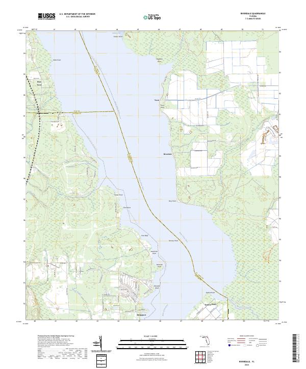
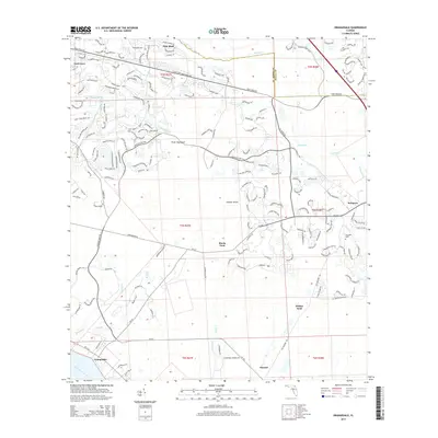
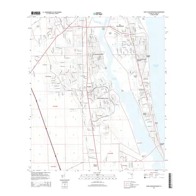
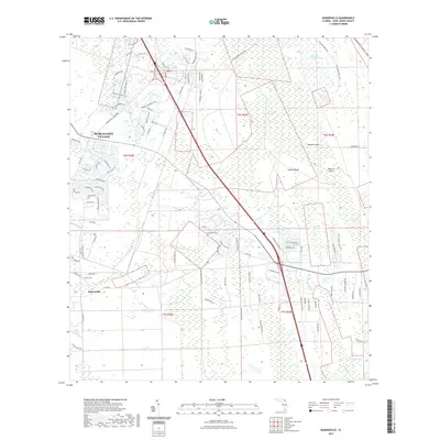
2024 Map of Riverdale
USGS Topo · Published 2024About this map
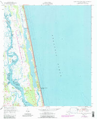
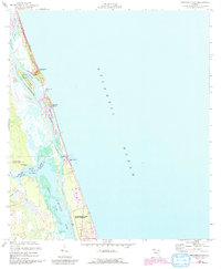
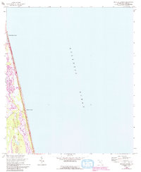
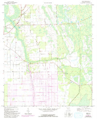
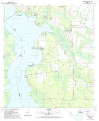
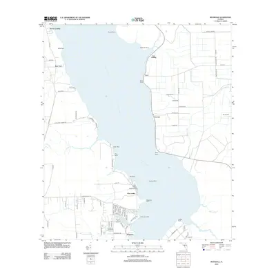
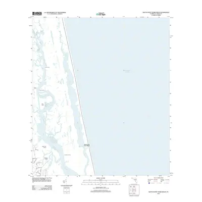
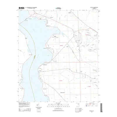
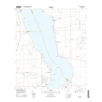
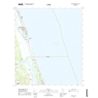
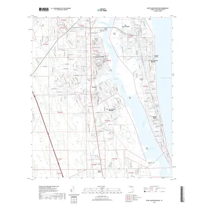
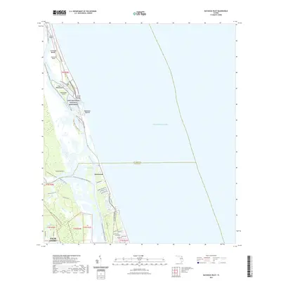
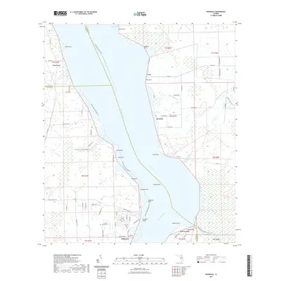
The Saint Johns River dominates this landscape, serving as the primary boundary between St. Johns and Putnam counties. The eastern bank is dotted with small riverfront settlements such as Riverdale and Tocoi, reflecting a long history of water-based transport and commerce along the river's wider reaches. Numerous named points and bluffs, including Magnolia Point, Racy Point, and the provocatively named Deadman Point, define the meandering shoreline and offer specific landmarks for local history and maritime research.
Find a feature on this map
74 named features on this map. Tap any name to fly to it.
Don’t see what you’re looking for? This feature index may not catch every label — zoom into the map to look around manually.
Map Details
Editions of this 2024 Riverdale Map
This is the sole edition of this map. No revisions or reprints were ever made.
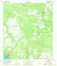
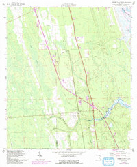
Historical Maps of Lane Landing Through Time
87 maps found

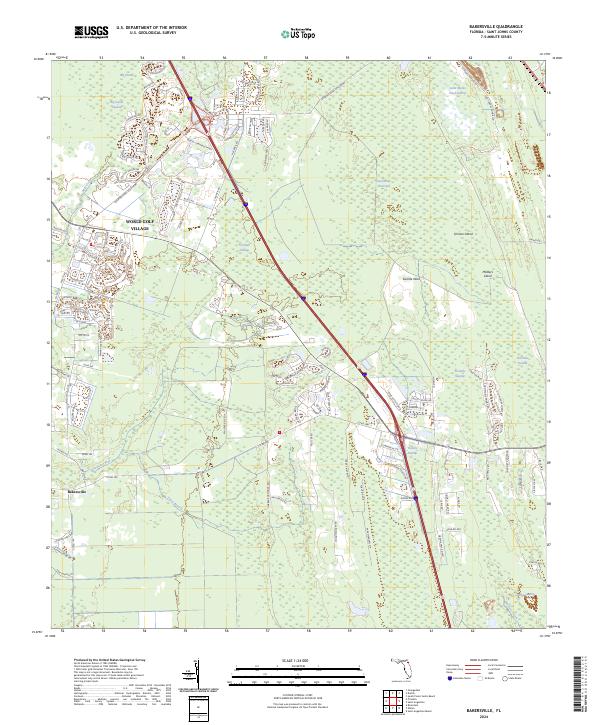
1937 Bakersville
St. Johns County, FL

1937 Elkton
St. Johns County, FL
1949 Picolata
St. Johns County, FL
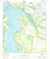
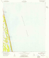
1949 Riverdale
St. Johns County, FL
1952 Durbin
St. Johns County, FL
1952 Mickler Landing
St. Johns County, FL
1952 Orangedale
St. Johns County, FL
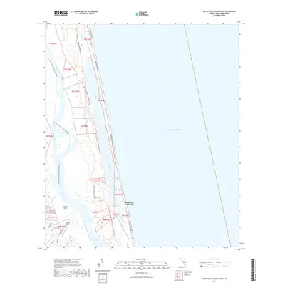
1952 South Ponte Vedra Beach
St. Johns County, FL
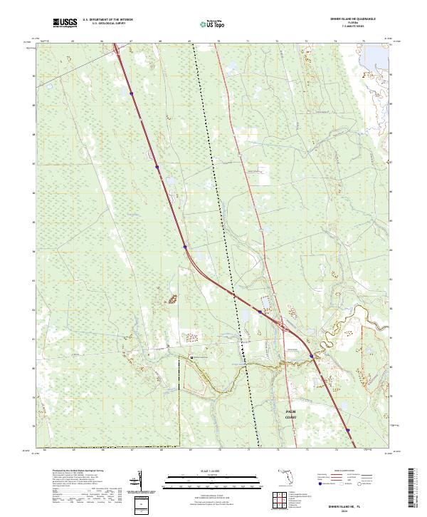
1956 Dinner Island NE
St. Johns County, FL
1956 Matanzas Inlet
St. Johns County, FL
1964 Mickler Landing
St. Johns County, FL
1970 Bakersville
St. Johns County, FL
1970 Elkton
St. Johns County, FL
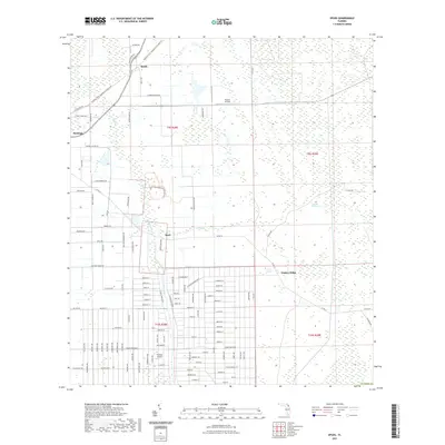
1970 Spuds
St. Johns County, FL
1991 Picolata
St. Johns County, FL

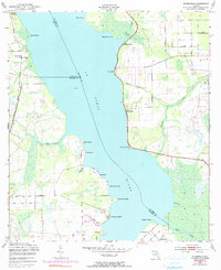
1991 Riverdale
St. Johns County, FL
1993 Orangedale
St. Johns County, FL
2012 Bakersville
St. Johns County, FL

2012 Dinner Island NE
St. Johns County, FL
2012 Durbin
St. Johns County, FL
2012 Elkton
St. Johns County, FL
2012 Matanzas Inlet
St. Johns County, FL
2012 Mickler Landing
St. Johns County, FL
2012 Orangedale
St. Johns County, FL
2012 Picolata
St. Johns County, FL
2012 Riverdale
St. Johns County, FL

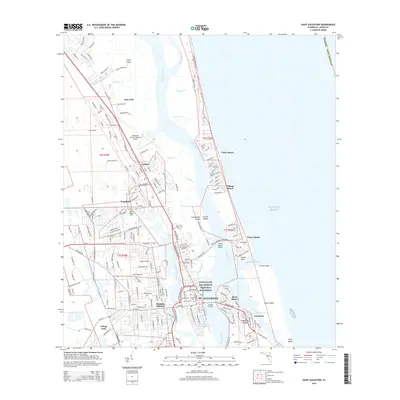
2012 Saint Augustine Beach OE E
St. Johns County, FL
2012 Saint Augustine Beach
St. Johns County, FL

2012 Saint Augustine
St. Johns County, FL
2012 South Ponte Vedra Beach
St. Johns County, FL
2012 Spuds
St. Johns County, FL
2015 Bakersville
St. Johns County, FL
2015 Dinner Island NE
St. Johns County, FL
2015 Durbin
St. Johns County, FL
2015 Elkton
St. Johns County, FL
2015 Matanzas Inlet
St. Johns County, FL
2015 Mickler Landing
St. Johns County, FL
2015 Orangedale
St. Johns County, FL
2015 Picolata
St. Johns County, FL
2015 Riverdale
St. Johns County, FL
2015 Saint Augustine Beach OE E
St. Johns County, FL
2015 Saint Augustine Beach
St. Johns County, FL
2015 Saint Augustine
St. Johns County, FL
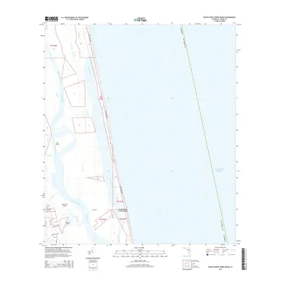
2015 South Ponte Vedra Beach
St. Johns County, FL
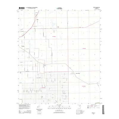
2015 Spuds
St. Johns County, FL
2018 Bakersville
St. Johns County, FL
2018 Dinner Island NE
St. Johns County, FL
2018 Durbin
St. Johns County, FL
2018 Elkton
St. Johns County, FL
2018 Matanzas Inlet
St. Johns County, FL

2018 Mickler Landing
St. Johns County, FL
2018 Orangedale
St. Johns County, FL
2018 Picolata
St. Johns County, FL
2018 Riverdale
St. Johns County, FL
2018 Saint Augustine Beach OE E
St. Johns County, FL
2018 Saint Augustine Beach
St. Johns County, FL

2018 Saint Augustine
St. Johns County, FL
2018 South Ponte Vedra Beach
St. Johns County, FL
2018 Spuds
St. Johns County, FL
2021 Bakersville
St. Johns County, FL
2021 Dinner Island NE
St. Johns County, FL
2021 Durbin
St. Johns County, FL
2021 Elkton
St. Johns County, FL
2021 Matanzas Inlet
St. Johns County, FL
2021 Mickler Landing
St. Johns County, FL
2021 Orangedale
St. Johns County, FL
2021 Picolata
St. Johns County, FL
2021 Riverdale
St. Johns County, FL
2021 Saint Augustine Beach OE E
St. Johns County, FL
2021 Saint Augustine Beach
St. Johns County, FL
2021 Saint Augustine
St. Johns County, FL
2021 South Ponte Vedra Beach
St. Johns County, FL
2021 Spuds
St. Johns County, FL
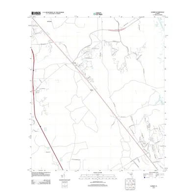
2024 Bakersville
St. Johns County, FL
2024 Dinner Island NE
St. Johns County, FL
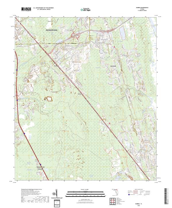
2024 Durbin
St. Johns County, FL
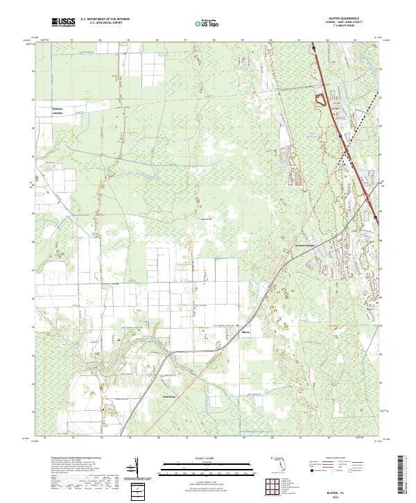
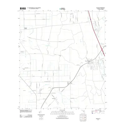
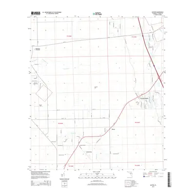
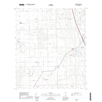
2024 Elkton
St. Johns County, FL
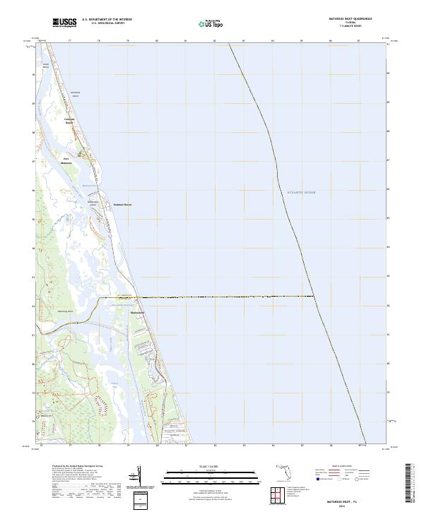
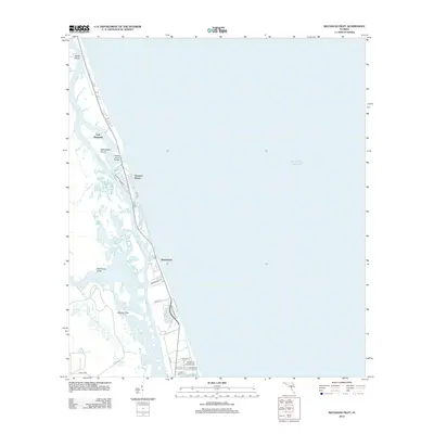
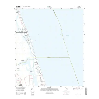
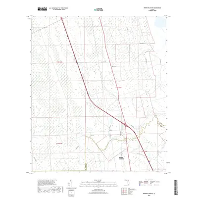
2024 Matanzas Inlet
St. Johns County, FL
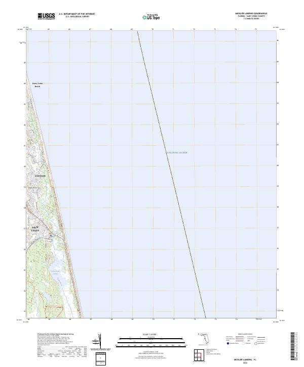
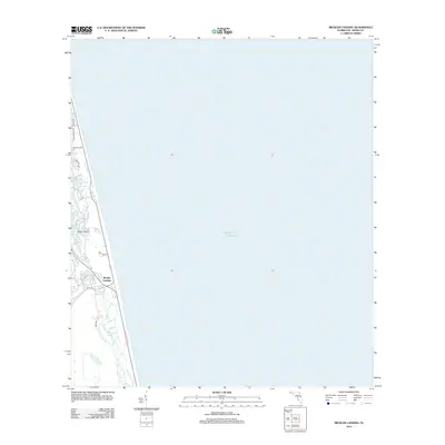
2024 Mickler Landing
St. Johns County, FL
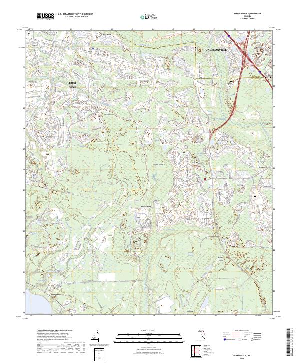
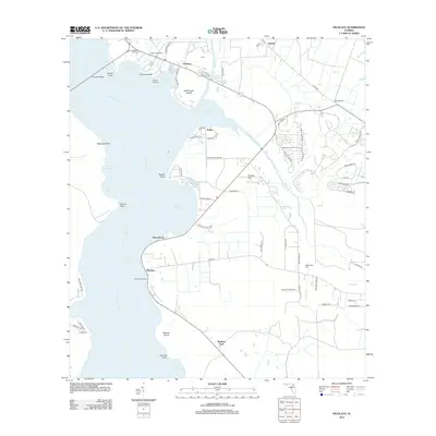
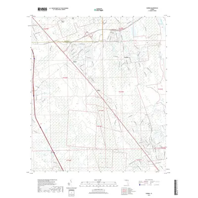
2024 Orangedale
St. Johns County, FL
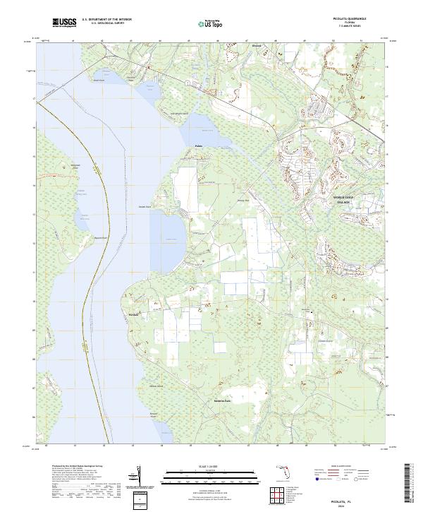
2024 Picolata
St. Johns County, FL
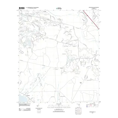
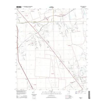
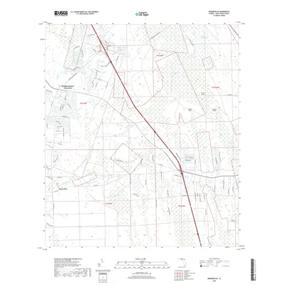
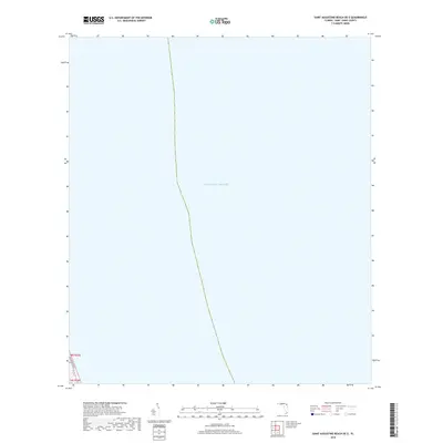
2024 Riverdale
St. Johns County, FL
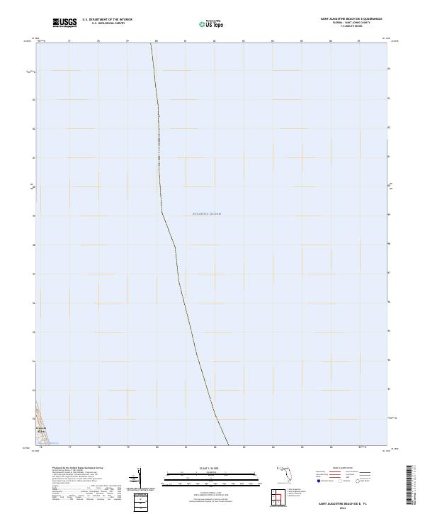
2024 Saint Augustine Beach OE E
St. Johns County, FL
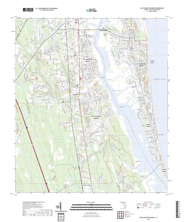
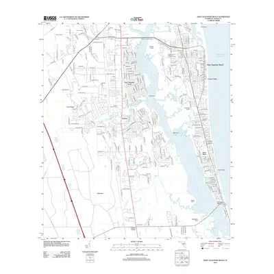
2024 Saint Augustine Beach
St. Johns County, FL
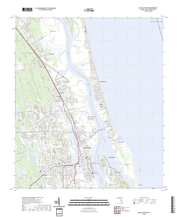
2024 Saint Augustine
St. Johns County, FL
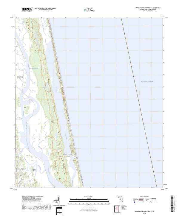
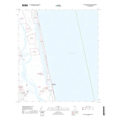
2024 South Ponte Vedra Beach
St. Johns County, FL
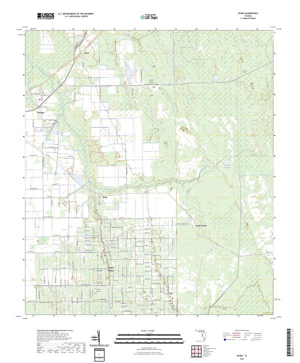
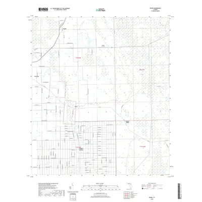
2024 Spuds
St. Johns County, FL