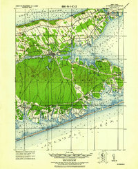
1943 Map of Riverhead
USGS Topo · Published 1943About this map
The Peconic River serves as a geographic spine for this 1943 reprint, which reflects the agricultural and maritime landscape of eastern Long Island as surveyed at the turn of the century. The settlement of Riverhead sits at the head of the river, acting as a gateway between the northern and southern forks. To the south, the Montauk Division railroad facilitates transit through coastal communities such as Eastport, Speonk, and West Hampton Beach. The map details a complex hydrology of coastal ponds and bays, including Shinnecock Bay and Peconic Bay. Of particular interest to local historians are the established hamlets like Good Ground and Aquebogue, alongside specific coastal landmarks such as Canoe Place and Roanoke Landing. The terrain transitions from the heights of Bald Hill down to the sea-level marshes of Tiana Beach, illustrating the era's reliance on both rail transport and protected waterways.
Find a feature on this map
87 named features on this map. Tap any name to fly to it.
Don’t see what you’re looking for? This feature index may not catch every label — zoom into the map to look around manually.
Map Details
Editions of this 1943 Riverhead Map
This is the sole edition of this map. No revisions or reprints were ever made.
Other maps of this area
1903 · Sag Harbor
USGS Topo · 1:62,500
1903 · Riverhead
USGS Topo · 1:62,500
1904 · Sag Harbor
USGS Topo · 1:62,500
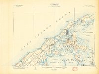
1904 · Shelter Island
USGS Topo · 1:62,500
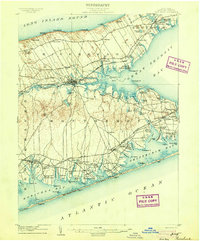
1904 · Riverhead
USGS Topo · 1:62,500
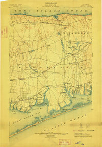
1904 · Moriches
USGS Topo · 1:62,500
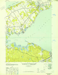
1947 · Mattituck
USGS Topo · 1:24,000
1947 · Mattituck Hills
USGS Topo · 1:24,000
1947 · Southold
USGS Topo · 1:24,000
1947 · Southampton
USGS Topo · 1:24,000