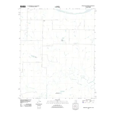
2010 Map of Riverland Cemetery
USGS Topo · Published 2010About this map
The Red River forms the northern boundary of this Clay County landscape, where the flat river bottom gives way to a network of creeks and small ranch impoundments. The area is defined by its water management and ranching legacy, featuring prominent labels for Edwards Ranch Lake Number 2, Maddox Lake, and Lively Lake, each supported by its own documented dam. For those researching local family history, the Riverland Cemetery sits along Riverland Rd as a primary landmark for the community. The southern portion of the map is dominated by the meandering course of the Little Wichita River and its East Fork Little Wichita River, reflecting the drainage patterns that have shaped the agricultural and rural character of this Texas-Oklahoma border region.
Find a feature on this map
25 named features on this map. Tap any name to fly to it.
Don’t see what you’re looking for? This feature index may not catch every label — zoom into the map to look around manually.
Map Details
Editions of this 2010 Riverland Cemetery Map
This is the sole edition of this map. No revisions or reprints were ever made.
Other maps of this area

1901 · Addington
USGS Topo · 1:125,000

1905 · Montague
USGS Topo · 1:125,000

1954 · Sherman
USGS Topo · 1:250,000

1954 · Wichita Falls
USGS Topo · 1:250,000

1955 · Lawton
USGS Topo · 1:250,000

1956 · Henrietta
USGS Topo · 1:62,500

1957 · Hastings
USGS Topo · 1:62,500

1957 · Ardmore
USGS Topo · 1:250,000

1958 · Wichita Falls
USGS Topo · 1:250,000

1958 · Sherman
USGS Topo · 1:250,000