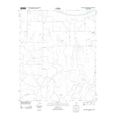
2013 Map of Riverland Cemetery
USGS Topo · Published 2013About this map
The Red River forms the northern boundary of this landscape, carving the border between Clay County, Texas, and Oklahoma. This section of the river valley is defined by its drainage systems, including the Little Wichita River, which meanders across the southern half of the sheet, and smaller tributaries like Little Pecan Cr and Long Cr. The map shows a region shaped by ranching and rural infrastructure, anchored by the settlement of Stanfield in the east. Local history and genealogy are centered at Riverland Cem near FM-2332. Significant private landholdings are evident in labels like Edwards Ranch Lake Number 2 and the naming of rural routes such as Crox Maddox Rd and Macon Boddy Rd, reflecting the families who have managed this terrain.
Find a feature on this map
24 named features on this map. Tap any name to fly to it.
Don’t see what you’re looking for? This feature index may not catch every label — zoom into the map to look around manually.
Map Details
Editions of this 2013 Riverland Cemetery Map
This is the sole edition of this map. No revisions or reprints were ever made.
Other maps of this area

1901 · Addington
USGS Topo · 1:125,000

1905 · Montague
USGS Topo · 1:125,000

1954 · Sherman
USGS Topo · 1:250,000

1954 · Wichita Falls
USGS Topo · 1:250,000

1955 · Lawton
USGS Topo · 1:250,000

1956 · Henrietta
USGS Topo · 1:62,500

1957 · Hastings
USGS Topo · 1:62,500

1957 · Ardmore
USGS Topo · 1:250,000

1958 · Wichita Falls
USGS Topo · 1:250,000

1958 · Sherman
USGS Topo · 1:250,000