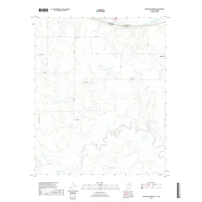
2019 Map of Riverland Cemetery
USGS Topo · Published 2019About this map
The Red River defines the border between Texas and Oklahoma in this northern section of Clay County, where the river's winding course shapes the landscape south of the Oklahoma state line. The Riverland Cem stands as a focal point for local genealogy, situated along Riverland Rd in a region characterized by family-named landmarks and rural infrastructure. The settlement of Stanfield sits near the eastern boundary, connected to the wider county by FM 2332.
Find a feature on this map
28 named features on this map. Tap any name to fly to it.
Don’t see what you’re looking for? This feature index may not catch every label — zoom into the map to look around manually.
Map Details
Editions of this 2019 Riverland Cemetery Map
This is the sole edition of this map. No revisions or reprints were ever made.
Other maps of this area

1901 · Addington
USGS Topo · 1:125,000

1905 · Montague
USGS Topo · 1:125,000

1954 · Sherman
USGS Topo · 1:250,000

1954 · Wichita Falls
USGS Topo · 1:250,000

1955 · Lawton
USGS Topo · 1:250,000

1956 · Henrietta
USGS Topo · 1:62,500

1957 · Hastings
USGS Topo · 1:62,500

1957 · Ardmore
USGS Topo · 1:250,000

1958 · Wichita Falls
USGS Topo · 1:250,000

1958 · Sherman
USGS Topo · 1:250,000