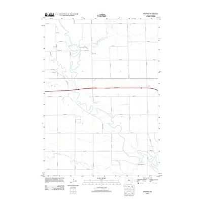
2012 Map of Riverside
USGS Topo · Published 2012About this map
The James River snakes through this Davison County landscape, defining the character of the river valley near Riverside. This 2012 survey illustrates a classic South Dakota agricultural grid, punctuated by the convergence of several waterways including Rock Cr, Firesteel Cr, and Enemy Cr. The meandering river path creates distinct pockets of land, such as the area near Riverside Camp, where the topography shifts from flat section lines to more complex riparian terrain.
Find a feature on this map
37 named features on this map. Tap any name to fly to it.
Don’t see what you’re looking for? This feature index may not catch every label — zoom into the map to look around manually.
Map Details
Editions of this 2012 Riverside Map
This is the sole edition of this map. No revisions or reprints were ever made.
Other maps of this area

1899 · Mitchell
USGS Topo · 1:125,000

1899 · Alexandria
USGS Topo · 1:125,000

1955 · Sioux Falls
USGS Topo · 1:250,000

1955 · Mitchell
USGS Topo · 1:250,000

1957 · Alexandria
USGS Topo · 1:24,000

1957 · Ethan
USGS Topo · 1:24,000

1957 · Loomis
USGS Topo · 1:24,000

1957 · Rockport Colony
USGS Topo · 1:24,000

1957 · Riverside
USGS Topo · 1:24,000

1957 · Farwell
USGS Topo · 1:24,000