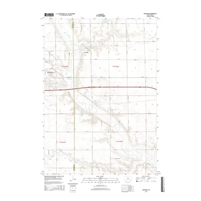
2015 Map of Riverside
USGS Topo · Published 2015About this map
The James River meanders through this portion of southeastern South Dakota, serving as a primary geographic anchor for the region. The landscape is defined by the confluence of several tributaries, including Firesteel Cr and Rock Cr, which carve into the plains. On the western edge of the map, the city of Mitchell shows its suburban expansion with residential streets like Georgella Pl and Doris Dr. To the north, the small settlement of Riverside sits near the riverbanks, accessed by rural routes such as Old Mill Rd. The map also captures the administrative boundary of Davison Co Hanson Co, illustrating how the township grid system interacts with the natural topography. Significant rural infrastructure is evident in the network of section-line roads, such as Bartscher Rd and Ben Cummingsrd, which facilitate access to the agricultural hinterlands surrounding the river valley.
Find a feature on this map
42 named features on this map. Tap any name to fly to it.
Don’t see what you’re looking for? This feature index may not catch every label — zoom into the map to look around manually.
Map Details
Editions of this 2015 Riverside Map
This is the sole edition of this map. No revisions or reprints were ever made.
Other maps of this area

1899 · Mitchell
USGS Topo · 1:125,000

1899 · Alexandria
USGS Topo · 1:125,000

1955 · Sioux Falls
USGS Topo · 1:250,000

1955 · Mitchell
USGS Topo · 1:250,000

1957 · Alexandria
USGS Topo · 1:24,000

1957 · Ethan
USGS Topo · 1:24,000

1957 · Loomis
USGS Topo · 1:24,000

1957 · Rockport Colony
USGS Topo · 1:24,000

1957 · Riverside
USGS Topo · 1:24,000

1957 · Farwell
USGS Topo · 1:24,000