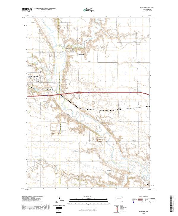
2021 Map of Riverside
USGS Topo · Published 2021About this map
The James River snakes southward through this South Dakota landscape, defining the border between Davison and Hanson counties. The settlement of Riverside sits prominently along the eastern bluffs, while the eastern edge of Mitchell occupies the western margin. This 2021 survey reveals a deeply agricultural grid intersected by numerous watercourses, including Rock Creek and Firesteel Creek. Local history and genealogy interest is anchored by burial sites such as Holiness Cem and Rosedale Cem, both situated near the river's winding course. Family-named infrastructure like Ben Cummings Rd and Bartscher Rd indicates the enduring legacy of local landowners. The terrain is marked by significant drainage patterns, with Dry Run and Enemy Creek feeding into the main river valley, showing how the natural hydrology continues to shape the road network and property boundaries in this prairie region.
Find a feature on this map
48 named features on this map. Tap any name to fly to it.
Don’t see what you’re looking for? This feature index may not catch every label — zoom into the map to look around manually.
Map Details
Editions of this 2021 Riverside Map
This is the sole edition of this map. No revisions or reprints were ever made.
Other maps of this area

1899 · Mitchell
USGS Topo · 1:125,000

1899 · Alexandria
USGS Topo · 1:125,000

1955 · Sioux Falls
USGS Topo · 1:250,000

1955 · Mitchell
USGS Topo · 1:250,000

1957 · Alexandria
USGS Topo · 1:24,000

1957 · Ethan
USGS Topo · 1:24,000

1957 · Loomis
USGS Topo · 1:24,000

1957 · Rockport Colony
USGS Topo · 1:24,000

1957 · Riverside
USGS Topo · 1:24,000

1957 · Farwell
USGS Topo · 1:24,000