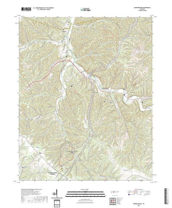
2022 Map of Riverside
USGS Topo · Published 2022About this map
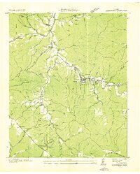
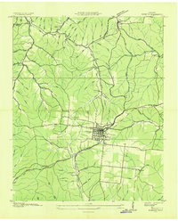
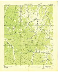
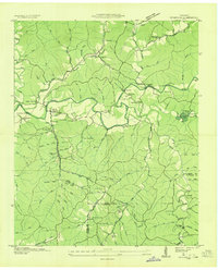
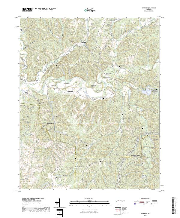
The Buffalo River snakes through the center of this Tennessee landscape, shaping the valley where the small settlements of Riverside, Providence, and Voorhies are established. To the south, the Natchez Trace Parkway cuts across the terrain, paralleled by high ground such as Waynesboro Ridge and Buttermilk Ridge. The area is marked by a deep-seated rural character, with numerous family and community burial grounds including Banks Cem, Mannie Cem, and Crowell Cem scattered among the hollows. The eastern portion of the map highlights the water-management and industrial legacy of the region, featuring Napier Lake, Napier Diversion Lake, and the Palmer Village-Napier Lake Airport. A notable cultural pocket appears in the north at Swiss Colony, while numerous named drainage features like Rockhouse Cr and Little Buffalo River illustrate the complex watershed that defines life in this part of Lewis and Lawrence counties.
Find a feature on this map
165 named features on this map. Tap any name to fly to it.
Don’t see what you’re looking for? This feature index may not catch every label — zoom into the map to look around manually.
Map Details
Editions of this 2022 Riverside Map
This is the sole edition of this map. No revisions or reprints were ever made.
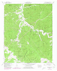
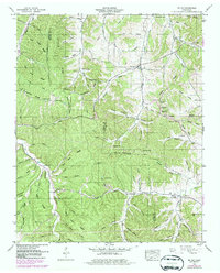
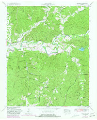
Historical Maps of Riverside Through Time
10 maps found