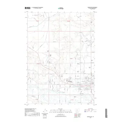
2017 Map of Riverton West
USGS Topo · Published 2017About this map
Riverton stands as the primary hub of this high plains landscape, situated near the confluence of the Wind River and a complex network of man-made waterways. The city's 2017 layout shows a clear evolution from its core to the suburban developments of Riverton Valley and Riverview Valley. Essential community infrastructure is evident at the Central Wyoming College campus and the Riverton Regional Airport, while the local history of the town's residents is preserved at Mountain View Cem and Odd Fellows Cem.
Find a feature on this map
134 named features on this map. Tap any name to fly to it.
Don’t see what you’re looking for? This feature index may not catch every label — zoom into the map to look around manually.
Map Details
Editions of this 2017 Riverton West Map
This is the sole edition of this map. No revisions or reprints were ever made.
Other maps of this area

1950 · Riverton East
USGS Topo · 1:24,000

1950 · Ocean Lake
USGS Topo · 1:24,000

1951 · Pavillion SE
USGS Topo · 1:24,000

1951 · Riverton West
USGS Topo · 1:24,000

1952 · Riverton NE
USGS Topo · 1:24,000

1952 · Lost Wells Butte
USGS Topo · 1:24,000

1952 · Hudson
USGS Topo · 1:24,000

1953 · Arapahoe NE
USGS Topo · 1:24,000

1953 · Arapahoe
USGS Topo · 1:24,000

1955 · Thermopolis
USGS Topo · 1:250,000