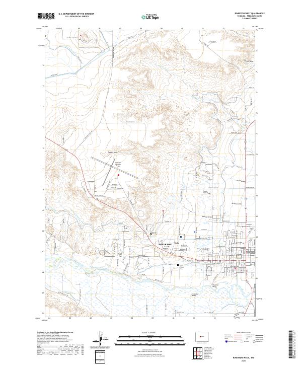
2021 Map of Riverton West
USGS Topo · Published 2021About this map
Riverton stands as the primary hub of this high-plains landscape, where the confluence of modern infrastructure and a complex irrigation network defines the region. The city's southern edge is bounded by the Wind River, which feeds an intricate system of waterways including the Wyoming Central Canal, Leclair Canal, and Lefthand Ditch. These diversions are central to the agricultural identity of the area, supporting the small communities of Riverton Valley and Riverview Valley. To the north, the terrain becomes more dissected, characterized by numerous erosional features like Madden Draw, Prison Farm Draw, and Berlin Draw. This 2021 survey shows the city's maturity, anchored by the Central Wyoming College campus and the sprawling Riverton Regional Airport. Local history is preserved at the Mountain View Cem and Odd Fellows Cem, while the road network extends into the rangeland via routes like Burma Rd and Paradise Valley Rd.
Find a feature on this map
136 named features on this map. Tap any name to fly to it.
Don’t see what you’re looking for? This feature index may not catch every label — zoom into the map to look around manually.
Map Details
Editions of this 2021 Riverton West Map
This is the sole edition of this map. No revisions or reprints were ever made.
Other maps of this area

1950 · Riverton East
USGS Topo · 1:24,000

1950 · Ocean Lake
USGS Topo · 1:24,000

1951 · Pavillion SE
USGS Topo · 1:24,000

1951 · Riverton West
USGS Topo · 1:24,000

1952 · Riverton NE
USGS Topo · 1:24,000

1952 · Lost Wells Butte
USGS Topo · 1:24,000

1952 · Hudson
USGS Topo · 1:24,000

1953 · Arapahoe NE
USGS Topo · 1:24,000

1953 · Arapahoe
USGS Topo · 1:24,000

1955 · Thermopolis
USGS Topo · 1:250,000