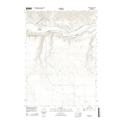
2014 Map of Riverview
USGS Topo · Published 2014About this map
The Riverview settlement sits perched above the deep-cut valley of the Niobrara River in this northern Nebraska landscape. The river, protected here as the Niobrara National Scenic River, forms the natural boundary between Keya Paha and Rock counties, carving through the high plains and creating distinctive features like Kindall Island. This 2014 survey reveals a transition from the rugged drainage breaks of Wentworth Cr and Wyman Cr in the north to the gentler, stream-cut tablelands to the south.
Find a feature on this map
13 named features on this map. Tap any name to fly to it.
Don’t see what you’re looking for? This feature index may not catch every label — zoom into the map to look around manually.
Map Details
Editions of this 2014 Riverview Map
This is the sole edition of this map. No revisions or reprints were ever made.
Other maps of this area

1949 · Jamison SW
USGS Topo · 1:24,000

1949 · Riverview
USGS Topo · 1:24,000

1949 · Carns
USGS Topo · 1:24,000

1950 · Bassett NW
USGS Topo · 1:24,000

1950 · Carns
USGS Topo · 1:24,000

1950 · Riverview
USGS Topo · 1:24,000

1951 · Jamison SW
USGS Topo · 1:24,000

1954 · Long Pine
USGS Topo · 1:24,000

1954 · Bassett
USGS Topo · 1:24,000

1954 · Newport SW
USGS Topo · 1:24,000