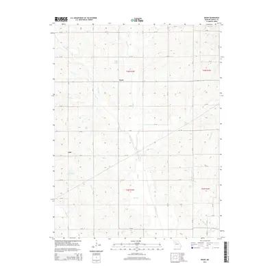
2015 Map of Roads
USGS Topo · Published 2015About this map
Roads and Judd serve as the primary human settlements in this portion of rural Missouri, where the landscape is defined by an intricate network of north-south and east-west country roads. The area's hydrology is particularly complex, characterized by numerous meandering waterways such as Wakenda Cr and Turkey Cr, which drain the agricultural terrain. A series of private or named impoundments including Amery Lake, Tweedie Farms Lake, and Null Lake are scattered across the landscape, suggesting a history of land management for local water needs or recreation. The map's grid of county roads, such as CR 190 and CR 220, highlights a highly organized rural infrastructure that connects isolated homesteads and farming operations to larger state routes like Mo-D and Mo-K.
Find a feature on this map
48 named features on this map. Tap any name to fly to it.
Don’t see what you’re looking for? This feature index may not catch every label — zoom into the map to look around manually.
Map Details
Editions of this 2015 Roads Map
This is the sole edition of this map. No revisions or reprints were ever made.
Other maps of this area

1889 · Lexington
USGS Topo · 1:125,000

1924 · Dawn
USGS Topo · 1:62,500

1924 · Braymer
USGS Topo · 1:62,500

1950 · Coloma
USGS Topo · 1:24,000

1950 · Plymouth
USGS Topo · 1:24,000

1951 · Utica
USGS Topo · 1:62,500

1953 · Moberly
USGS Topo · 1:250,000

1954 · Moberly
USGS Topo · 1:250,000
1956 · Carrollton West
USGS Topo · 1:24,000

1957 · Moberly
USGS Topo · 1:250,000