
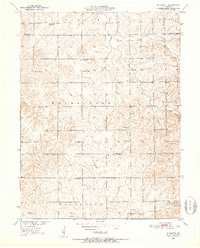
1950 Map of Plymouth
USGS Topo · Published 1952About this map
Plymouth serves as the small hub of this rural landscape, situated just south of the Livingston Co Carroll Co line during the mid-century. The area is defined by a dense network of country schools, many of which had already begun to fade from use by 1950, such as Hosier Sch and Prairie Sch. Other local landmarks like Hazel Dell Sch, Woods Sch, and Pleasant Valley Sch remained visible, illustrating the importance of local school districts in the social fabric of Washington and Fairfield townships.
Find a feature on this map
27 named features on this map. Tap any name to fly to it.
Don’t see what you’re looking for? This feature index may not catch every label — zoom into the map to look around manually.
Map Details
Editions of this 1950 Plymouth Map
3 editions found
Other maps of this area

1889 · Lexington
USGS Topo · 1:125,000

1924 · Dawn
USGS Topo · 1:62,500

1924 · Braymer
USGS Topo · 1:62,500

1950 · Coloma
USGS Topo · 1:24,000

1951 · Utica
USGS Topo · 1:62,500

1953 · Moberly
USGS Topo · 1:250,000

1954 · Moberly
USGS Topo · 1:250,000

1957 · Moberly
USGS Topo · 1:250,000
1957 · Roads
USGS Topo · 1:24,000
1957 · Stet
USGS Topo · 1:24,000