
1950 Map of Coloma
USGS Topo · Published 1952About this map
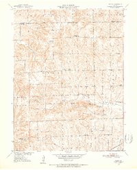
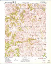
Coloma serves as the central hub of this agricultural landscape in Carroll County, where the terrain is defined by the prominent rises of Blue Mound Hills and the series of summits known as Tater Hill, Long Tater Hill, and Round Tater Hill. The 1950 topography reveals a dense network of country schools that supported the rural population, including Locust Sch, Cream Ridge Sch, and Oak Hill Sch. These small educational outposts, often located at crossroads or along drainage divides, speak to a time of localized community life before large-scale district consolidation.
Find a feature on this map
29 named features on this map. Tap any name to fly to it.
Don’t see what you’re looking for? This feature index may not catch every label — zoom into the map to look around manually.
Map Details
Editions of this 1950 Coloma Map
3 editions found
Other maps of this area

1889 · Lexington
USGS Topo · 1:125,000

1890 · Marshall
USGS Topo · 1:125,000

1892 · Marshall
USGS Topo · 1:125,000

1901 · Marshall
USGS Topo · 1:125,000

1924 · Dawn
USGS Topo · 1:62,500

1924 · Hale
USGS Topo · 1:62,500

1950 · Plymouth
USGS Topo · 1:24,000

1951 · Utica
USGS Topo · 1:62,500

1951 · Hale
USGS Topo · 1:62,500
1951 · Standish
USGS Topo · 1:24,000