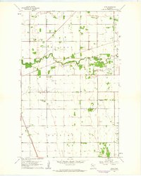
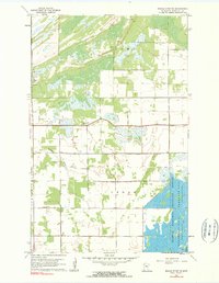
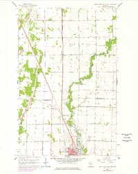
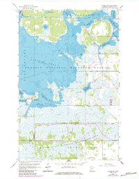
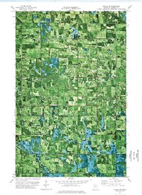
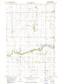
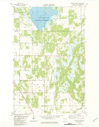
1961 Map of Roan
USGS Topo · Published 1963This historical map portrays the area of Roan in 1961, primarily covering Marshall County as well as portions of Polk County. Featuring a scale of 1:24000, this map provides a highly detailed snapshot of the terrain, roads, buildings, counties, and historical landmarks in the Roan region at the time. Published in 1963, it is one of 2 known editions of this map due to revisions or reprints.
Find a feature on this map
13 named features on this map. Tap any name to fly to it.
Don’t see what you’re looking for? This feature index may not catch every label — zoom into the map to look around manually.
Map Details
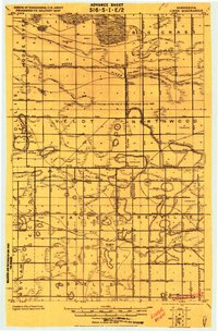
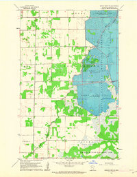
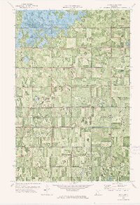
Editions of this 1961 Roan Map
2 editions found
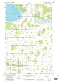
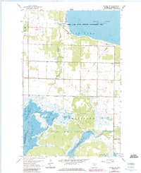
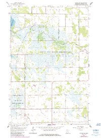
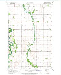
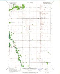
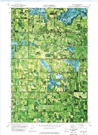
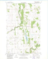
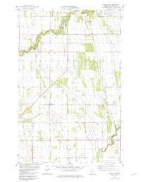
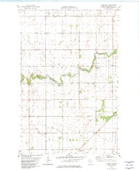
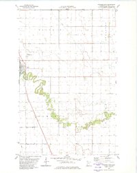
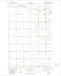
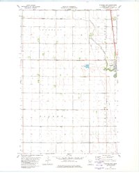
Historical Maps of Roan Through Time
31 maps found

1918 Rollis
Marshall County, MN
1919 Liner
Marshall County, MN

1943 Rollis
Marshall County, MN
1956 Florian
Marshall County, MN
1959 Rosewood
Marshall County, MN
1961 Middle River NE
Marshall County, MN
1961 Middle River SE
Marshall County, MN

1961 Radium
Marshall County, MN
1961 Roan
Marshall County, MN
1961 Thief River Falls NE
Marshall County, MN
1961 Thief River Falls NW
Marshall County, MN
1962 Gatzke
Marshall County, MN
1962 Gatzke NW
Marshall County, MN
1962 Gatzke SE
Marshall County, MN
1962 Gatzke SW
Marshall County, MN
1966 Big Woods
Marshall County, MN
1966 Big Woods NE
Marshall County, MN

1966 Oslo NE
Marshall County, MN
1973 Erie NW
Marshall County, MN
1973 Grygla SW
Marshall County, MN
1973 Mavie
Marshall County, MN
1973 Randeen Ridge
Marshall County, MN
1982 Ellerth
Marshall County, MN
1982 Florian
Marshall County, MN
1982 Florian NE
Marshall County, MN
1982 Florian SE
Marshall County, MN
1982 Florian SW
Marshall County, MN
1982 Nelson Slough
Marshall County, MN
1982 Stephen East
Marshall County, MN
1982 Stephen SW
Marshall County, MN
1982 Stephen West
Marshall County, MN