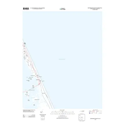
2013 Map of Roanoke Island NE
USGS Topo · Published 2013About this map
Nags Head occupies the narrow, developed strip between the Atlantic Ocean and Roanoke Sound, showcasing the coastal infrastructure of the early 21st century. The geography is defined by a dense network of residential streets such as W Danube St and Links Dr that transition into the sensitive marshlands of the sound. To the south, the settlement at Whalebone serves as a critical junction where the Melvin R Daniels Bridge connects the barrier island to the inner coast.
Find a feature on this map
32 named features on this map. Tap any name to fly to it.
Don’t see what you’re looking for? This feature index may not catch every label — zoom into the map to look around manually.
Map Details
Editions of this 2013 Roanoke Island NE Map
This is the sole edition of this map. No revisions or reprints were ever made.
Other maps of this area

1940 · Kitty Hawk
USGS Topo · 1:62,500

1943 · Roanoke Island
USGS Topo · 1:125,000

1946 · Eastville
USGS Topo · 1:250,000

1946 · Currituck Sound
USGS Topo · 1:250,000

1953 · Wanchese
USGS Topo · 1:24,000

1953 · Roanoke Island NE
USGS Topo · 1:24,000

1953 · Manteo
USGS Topo · 1:24,000

1955 · Wanchese
USGS Topo · 1:250,000

1957 · Manteo
USGS Topo · 1:250,000

1960 · Manteo
USGS Topo · 1:250,000